

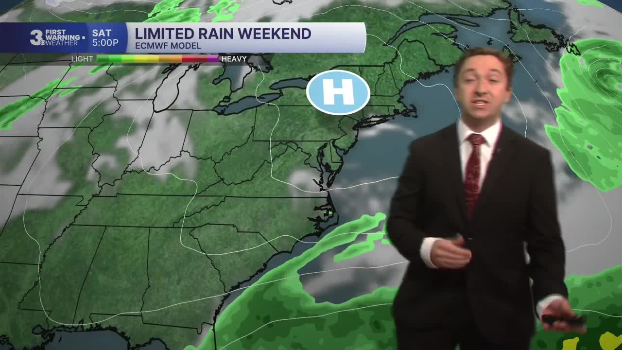


Meteorologist Tony Nargi's First Warning Forecast
A mix of sun and clouds are expected today with highs in the mid 60s. A stray shower is possible on the Outer Banks, with breezy conditions expected out of the NE at 10-15 mph with gusts up to 25 mph. Some minor tidal flooding is possible this morning around 8 AM, a coastal flood advisory is in effect. Overnight skies will be partly cloudy with lows dropping into the 40s inland with 50s along the coast.


Tomorrow will start off with partly cloudy skies, followed by clearing during the afternoon. We'll see winds out of the NE at 10-15 mph, with gusts slightly lower than Saturday only getting up to 20 mph. Some nuisance tidal flooding is possible early Sunday, around 9 AM. We'll see clear and cool conditions Sunday night with lows getting into the 40s and low 50s with clear skies expected.
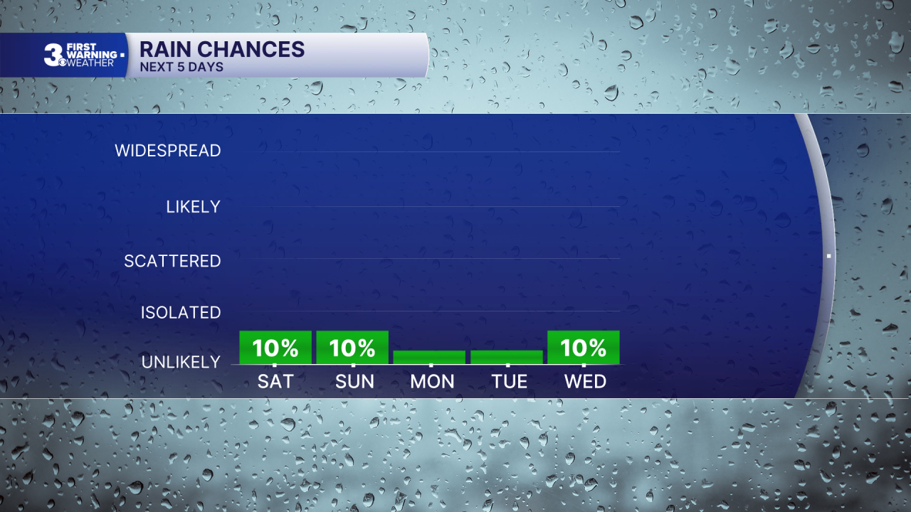
Abundant sunshine returns on Monday and Tuesday as our dry pattern persists. We'll see high temperatures in the 60s and lighter winds. On Wednesday and Thursday we'll see more clouds than sun. We have a low chance of isolated showers/drizzle, but no beneficial rainfall expected. Dry conditions are slated to stick with us for most of next week.

TROPICS:
All quiet in the Atlantic!
Weather updates on social media:
