

Meteorologist Tony Nargi's First Warning Forecast
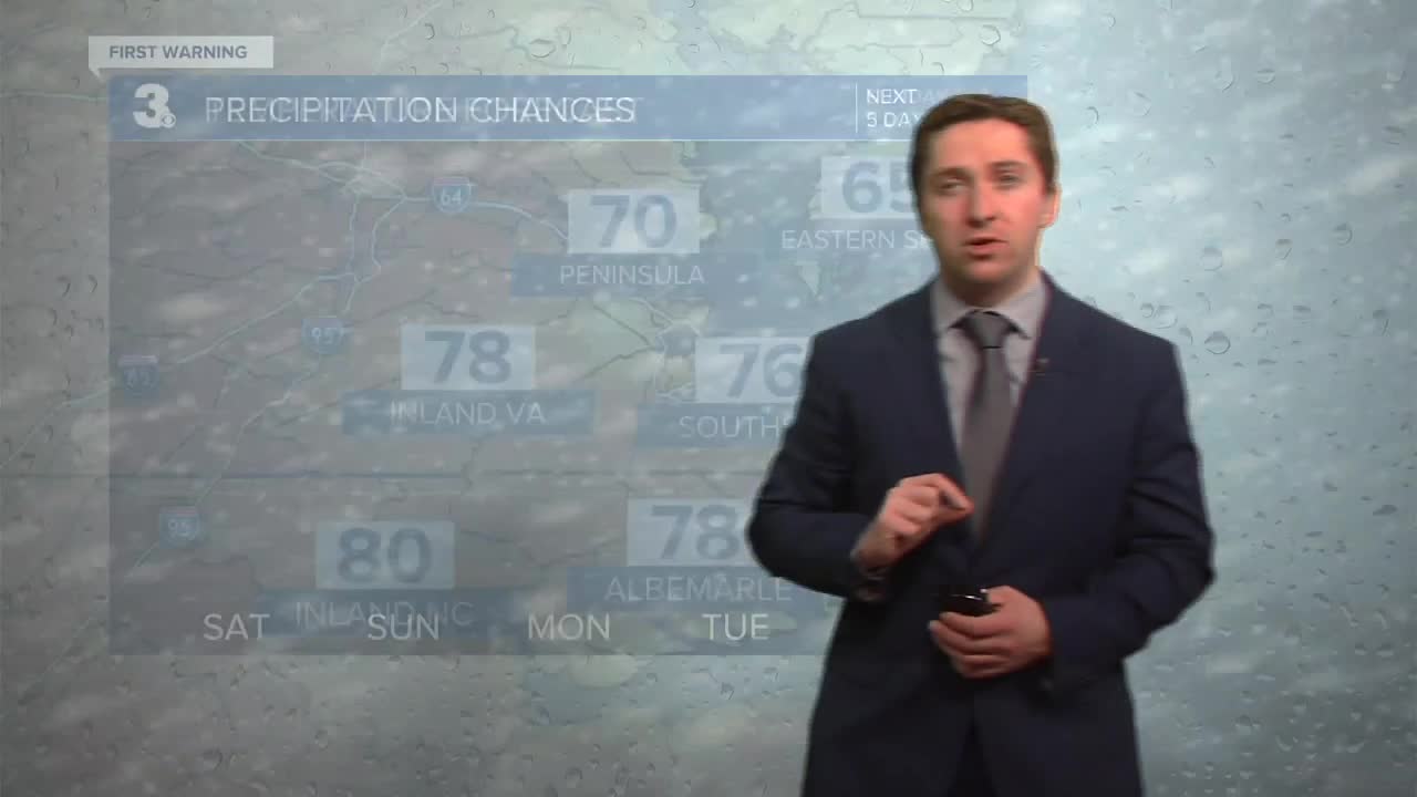
Today will start out with a few clouds and general wetness still around from last night's showers. We will stay dry today with mostly sunny skies emerging by late morning. High temperatures will reach the mid 70s inland. Along the coast, a sea breeze will kick in around midday, with mid 60s expected for high temperatures before dropping into the upper 50s and low 60s this afternoon. Winds will be out of the SW at 5-10 mph this morning, turning NE at 10-15 mph during the afternoon. Overnight some fog is possible with lows dropping into the 40s.

Tomorrow will be mostly sunny to start with a partly cloudy skies expected during the afternoon. It will be a warm spring day, with upper 70s to low 80s expected for afternoon highs. Winds will be out of the SW at 10-15 mph. Overnight temperatures will only drop into the upper 50s and low 60s with clouds building. On Monday, some showers/thunderstorms are possible during the morning as a cold front pushes through Hampton Roads. We'll see morning high temperatures in the 60s and low 70s, before dropping into the 50s and low 60s by the afternoon. Winds will be out of the N at 10-20 mph. Some clearing is likely by the end of the day.


Cooler weather is expected Tuesday with high temperatures around 50 degrees. Temperatures warm back to normal on Wednesday, with 70s expected to return for some by Thursday.

Weather updates on social media:
