



Meteorologist Tony Nargi's First Warning Forecast
Today will be cooler and cloudy with temperatures starting off in the low 70s and staying steady in the upper 60s to low 70s for high temperatures in Virginia, with mid 70s expected in North Carolina. Cloudy skies in the morning will turn to scattered showers during the afternoon and evening. Winds will be out of the NE at 10-15 mph. Overnight scattered showers are expected to continue with lows in the 60s expected.

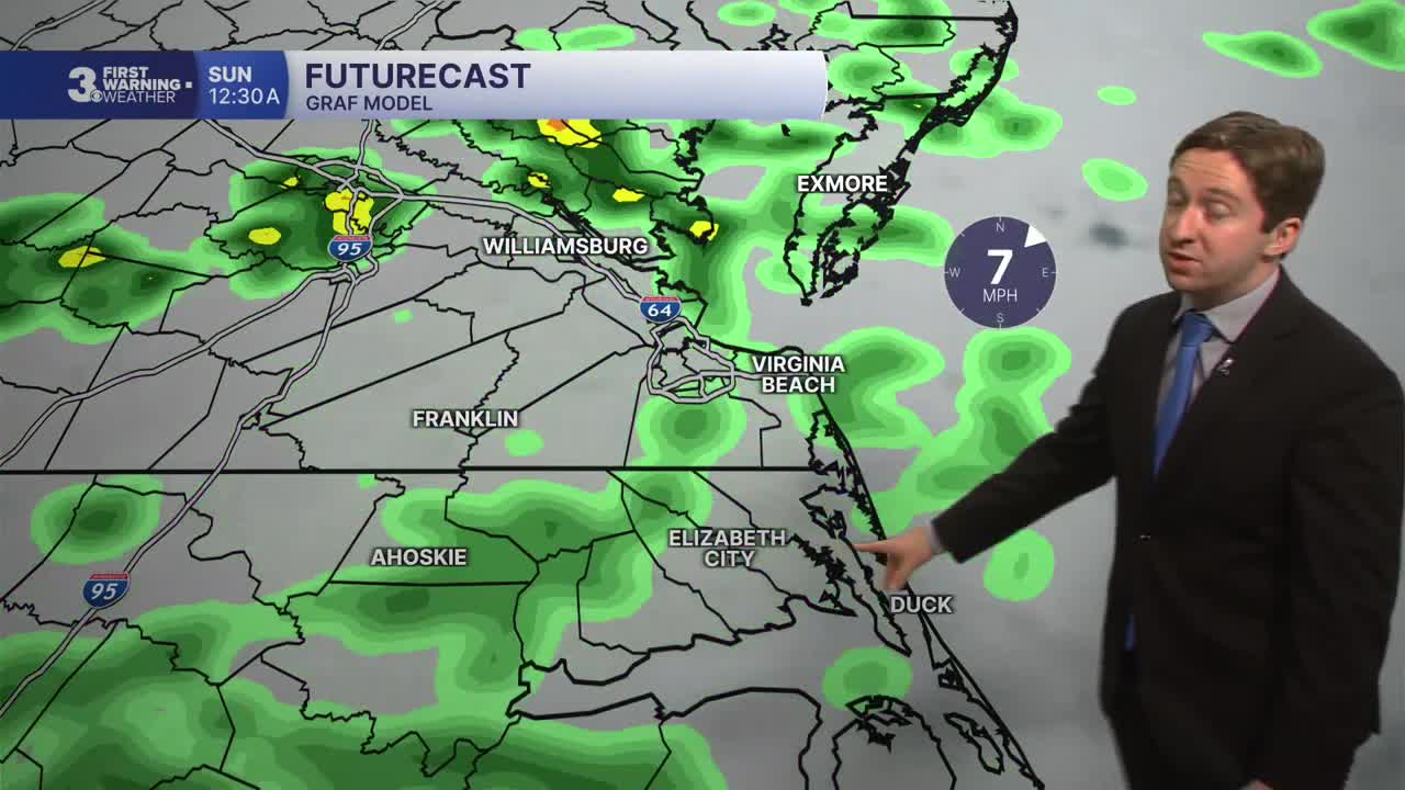
Sunday will feature steady rain developing for most of the region in the morning, with steady rain turning to off and on showers on the Peninsulas by the afternoon. The heaviest of the rain expected across Northeast North Carolina and the Outer Banks. Rainfall totals will be between 0.5" and 1.5". High temperatures will be in the low 70s, with winds out of the SE at 5-10 mph.


Drier conditions will develop on Monday with lingering clouds expected. A stray shower or two is possible during the morning, with just cloudy skies and dry conditions expected for most of the day. Some partial clearing is possible by sunset. High temps will reach the low 70s once again.

Tuesday will really feel like fall, with high temperatures staying in the 60s all day along with sunny skies. Temperatures will moderate later next week, returning to the mid 70s with dry conditions expected through Friday.

TROPICS:

All quiet in the Atlantic!
Weather updates on social media:
