


Meteorologist Myles Henderson’s First Warning Forecast
Another rain/snow chance Friday with minimal impact. A cold and windy weekend.
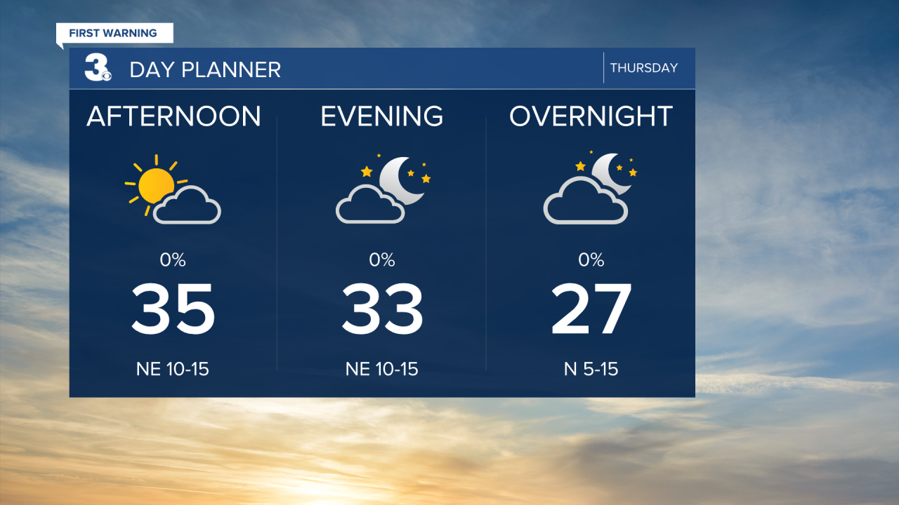
Cooler and breezy today. Temperatures will only reach the mid 30s with a NW wind at 10 to 15 mph. We will see a clearing trend from mostly to partly cloudy skies.
Highs will climb to near 40 on Friday. Expect partly cloudy skies with another rain/snow chance Friday night. Little to no accumulation is expected.

This weekend will be cold and windy. Highs will struggle to break the freezing point both days, but it will feel more like the teens and 20s with the strong wind. Wind chill values will drop to near zero Sunday morning. We will see mostly sunny skies on Saturday and partly cloudy skies on Sunday.

Temperatures climb early next week. Highs in the upper 30s Monday, upper 40s Tuesday, and into the 50s on Wednesday.
Today: Mostly Cloudy. Highs near 40. Winds: NE 5-15
Tonight: Rain/Snow Showers. Lows in the upper 20s. Winds: NE 5-15
Tomorrow: Mostly Cloudy. Highs in the mid 30s. Winds: NE 10-20
Weather updates on social media:
Facebook: MylesHendersonWTKR
Instagram: @MylesHendersonWTKR
