

Meteorologist Tony Nargi's First Warning Forecast
Warm and humid conditions are expected today with highs in the mid to upper 80s along with dew points in the low 70s, leading to feels like temperatures in the low 90s. Winds will be light out of the W at 5-10 mph, turning out of the NE at 5-10 mph during the afternoon. A couple spotty showers and storms are possible during the afternoon and evening as a cold front moves through the area. Surf heights will be 2-4 feet, with a high risk of rip currents once again.


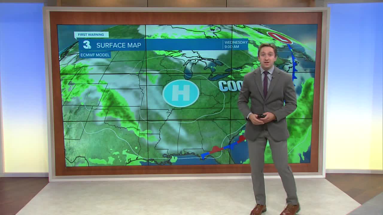
Tomorrow humidity drops along with our temperatures after Monday's cold front moves offshore. Highs will be in the low 80s, along with partly cloudy skies and dew points in the upper 50s bringing a comfortable feel to the region. Wednesday will be the best day of the week, with highs in the upper 70s to near 80 along with comfortable dew points in the 50s. Winds will be light out of the N at 5-10 mph.

Later this week some shower and storm chances return, with a few isolated storms on Friday along with spotty showers this weekend. Highs will stay below normal in the upper 70s to low 80s, along with a modest increase in humidity by the weekend.

TRACKING THE TROPICS
Tropical Storm Fernand is expected to track north and stay out to sea, going extra-tropical by Wednesday and weakening. Another area of interest (Invest 99L) has a 30% chance of forming into a tropical depression as it tracks closer to Central America. This area deserves monitoring, however its chance of formation has decreased slightly over the last 24 hours.


Besides Fernand and Invest 99L, I'm expecting a pretty quiet week in the tropics as the short term weather pattern remains fairly unfavorable for development.
Weather updates on social media:
