



Meteorologist Tony Nargi's First Warning Forecast
Today will start out with some clouds followed by sunny skies developing later in the day. High temperatures will reach the mid 60s, with winds out of the NE at 5-15 mph. Sunset will be at 5:07 PM thanks to daylight savings time ending last night. Overnight skies will be mostly clear with patchy fog possible after midnight. Lows will drop into the 40s inland and 50s closer to the coast.


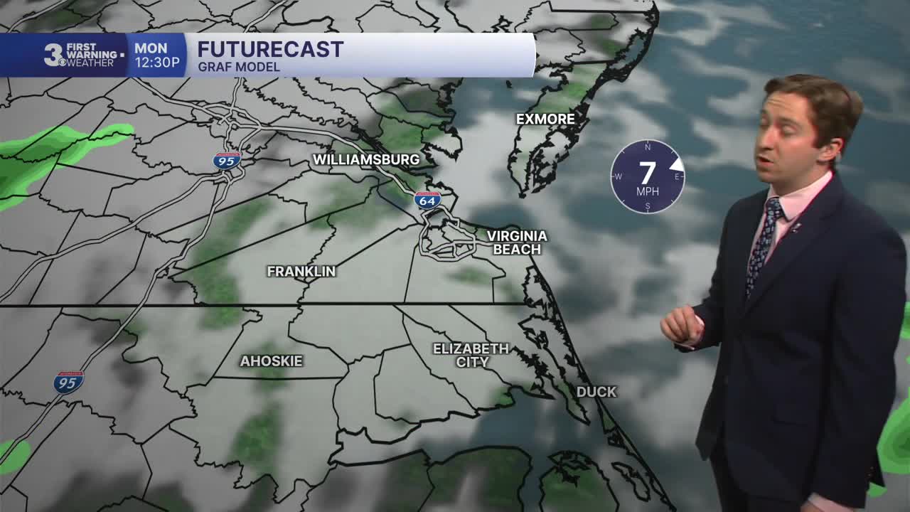
On Monday we'll see partly cloudy skies in the morning followed by mostly cloudy skies during the afternoon. High temperatures will reach the mid to upper 60s, with winds out of the E at 5-10 mph. Mainly dry conditions are expected, with just a 10% chance of some patchy drizzle. A warming trend begins Tuesday, with high temperatures reaching the low to mid 70s. We'll see mostly sunny skies and light winds on Tuesday.


Wednesday will feature increasing clouds with warm conditions as high temperatures reach the mid 70s. We'll see mid 70s once again on Thursday, with showers developing and cloudy skies. A cold front will traverse the region on Friday, bringing rain and breezy conditions along with cloudy skies. High temperatures will return to the 60s Saturday as we dry out.

Weather updates on social media:
