



Meteorologist Tony Nargi's First Warning Forecast
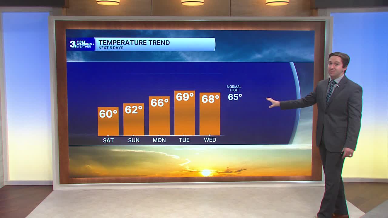
This morning we'll see a few leftover clouds followed by clear skies and dry weather after yesterday's historic rainfall. High temperatures will only reach the low 60s, with winds out of the NW at 10-15 mph keeping things cool. Overnight skies will be clear, with calming winds allowing for some chilly low temperatures. Lows will drop into the 30s inland and 40s along the coast, patchy frost is likely inland.

Sunday will start off chilly with mostly sunny skies. We'll see clear skies by the afternoon with high temperatures reaching the low 60s. Winds will be lighter tomorrow, out of the W at 5-10 mph. Dry weather will continue overnight, with clear skies and lows dropping into the 30s inland and 40s along the coast Sunday night.

Monday will be a step warmer, with seasonable temperatures reaching the mid 60s and mostly sunny skies. On Tuesday highs will reach near 70 with more sunshine expected. Wednesday will feature partly cloudy skies and highs in the upper 60s.


A clipper system will dive south on Thursday and strengthen as it moves to our north, bringing our next shot at some rain and breezy conditions. Cooler air moves in behind the storm on Friday with high temperatures staying in the 50s.

Weather updates on social media:
