

Meteorologist Tony Nargi's First Warning Forecast
Today will be an excellent fall day with sunny skies along with highs in the mid 70s. We'll see low dew points along with light winds out of the NE at 5-10 mph. Some patchy fog is possible early this morning, with completely dry conditions expected. Overnight temperatures will drop into the 50s. Surf conditions will be a bit rough, with 3 to 4 feet of surf along with a high risk of rip currents.

Tomorrow will be mostly sunny along with high temperatures slightly warmer in the mid to upper 70s. Winds will remain light, out of the ENE at 5-10 mph. Dew points will climb just a bit higher into the upper 50s and lower 60s, but it will still feel comfortable. Monday will be a bit warmer as well, with highs in the upper 70s to near 80 with mostly sunny skies expected again. Winds will be out of the ENE at 5-15 mph.

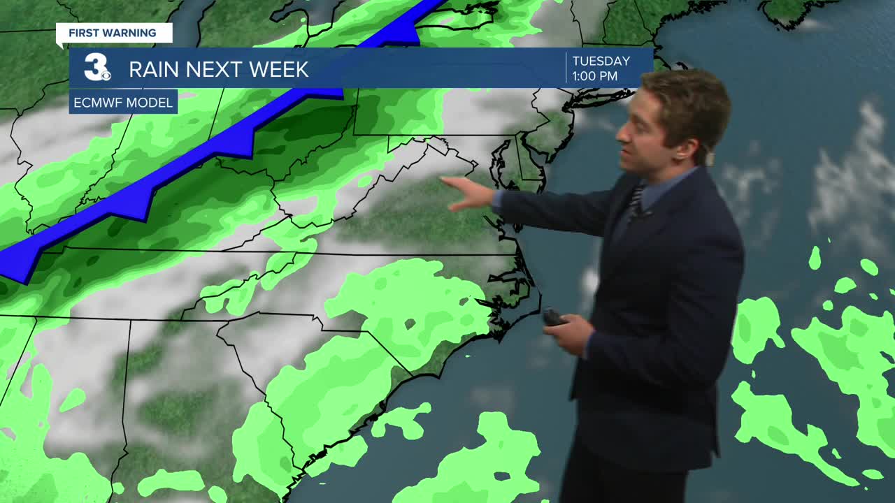
Tuesday will be warm, with highs in the low 80s along with a mix of sun and clouds. On Wednesday a cold front will move through the region, bringing widespread showers along with some thunderstorms. Temperatures will drop to end out next week.


TRACKING THE TROPICS
We're monitoring a couple areas of potential development in the tropics, one off of the Florida coastline and one over the Central Atlantic. The area of thunderstorms off the Florida coast has a very low (10%) chance of developing into a tropical system. The area moving through the Central Atlantic has a medium (50%) chance of developing over the next week.

Weather updates on social media:
