

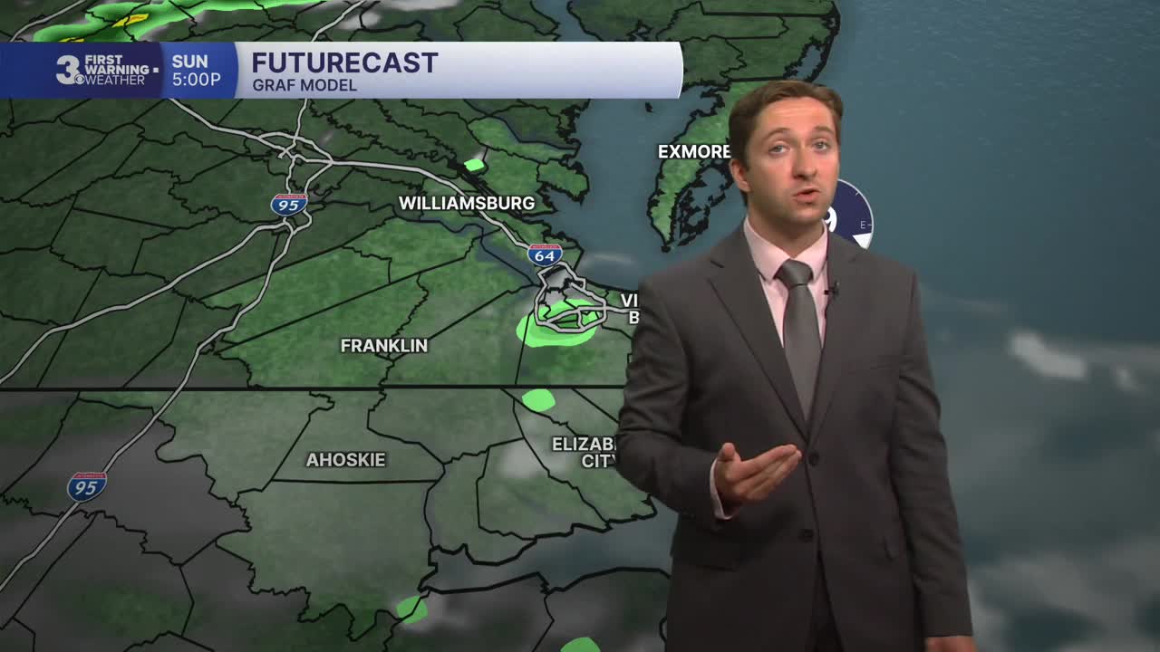


Meteorologist Tony Nargi's First Warning Forecast
Partly cloudy skies are expected today with temperatures starting off in the 70s. We'll see some isolated showers this afternoon, with a 20% chance of rain. High temperatures will reach the upper 80s, with winds out of the SE at 5-10 mph along with humid conditions. Overnight we'll see mostly clear skies along with lows in the low to mid 70s.

Tomorrow will begin a five-day stretch of temperatures reaching the 90s. We'll see mostly sunny skies in the morning followed by some partly cloudy skies with an isolated shower or two possible. High temperatures will reach the low 90s, with humid conditions present. Winds will be light out of the S at 5-10 mph. Overnight skies will be mostly clear with lows in the mid 70s.

Tuesday through Thursday will be a scorching three-day stretch, with high temperatures in the mid to upper 90s along with high humidity levels. Heat indices will be over 105 degrees all three afternoons, and heat advisories are likely for much of our region. We'll see low chances of rain over this three-day stretch, though some storms may be possible late in the day Thursday.

Storms look possible on Friday as a front moves through, and severe weather will be possible (though the timing is not set in stone yet, tune in for updates as we get closer to Friday). Highs will drop from the 90s on Friday to the 80s on Saturday as seasonable conditions settle back into the region for Labor Day weekend.

TROPICS:

The two areas we are monitoring are still unlikely to develop. The area south of Louisiana has jumped to a 20% chance of development, though this wouldn't pose any threat to the east coast. And the remnants of Tropical Storm Dolly continue to move northwest, with just a 10% chance of development.
Weather updates on social media:
