

Meteorologist Tony Nargi's First Warning Forecast
This evening temperatures will slowly slide into the 70s, with mostly clear skies expected. Some passing clouds are possible late tonight, but dry conditions are expected with lows around 70.

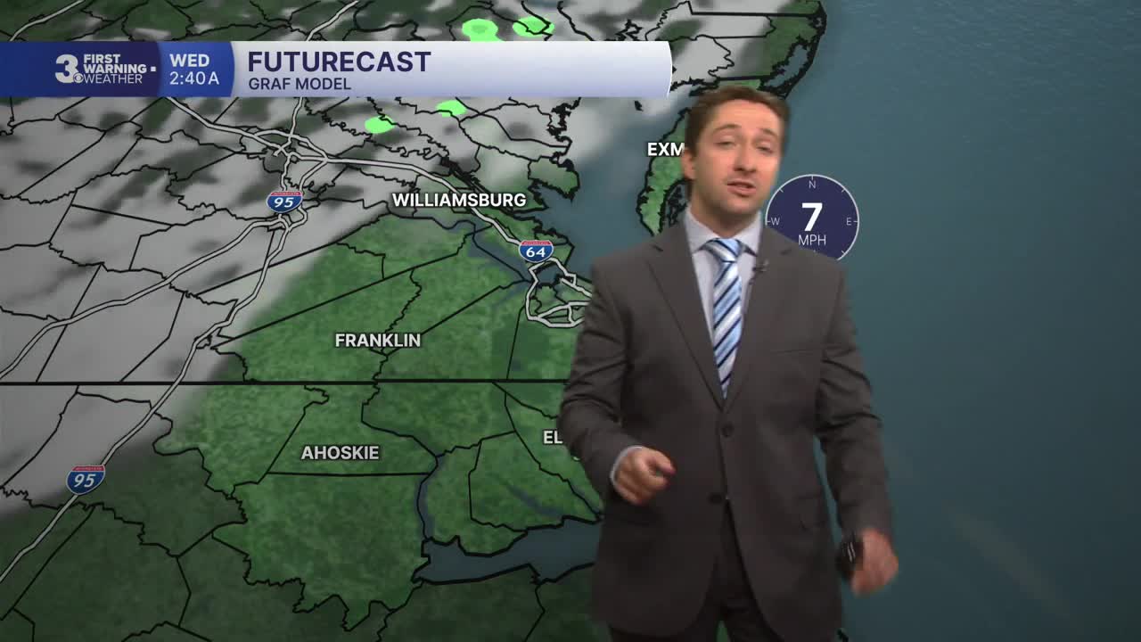
Tomorrow will be hotter, with high temperatures climbing to around 90. We'll see some passing clouds in the morning with mostly sunny skies for a majority of the day. Winds will be out of the S at 5-15 mph, turning out of the SE along the immediate coastline and keeping coastal communities slightly cooler. Overnight we'll see mostly clear skies and low temperatures in the low 70s.

On Thursday we'll see the temperatures climb into the mid 90s with heat indices surging well above 100. We'll see mostly sunny skies and winds out of the SW a t5-10 mph. On Friday we have and extreme heat watch in effect as temperatures climb into the upper 90s with heat indices approaching 110 degrees. It will be mostly sunny once again, make sure to stay hydrated and cool off if you plan on being outdoors for the holiday.


The 4th of July will be very warm, with high temperatures near 100 degrees and heat indices around 110. Water will be your friend on the holiday, whether you're drinking lots of it or jumping into it to stay cool. It will stay warm into Sunday, with a stray afternoon storm possible Sunday afternoon. Next week will start off warm, but some rain should help bring some relief to the region by Tuesday.

Weather updates on social media:
