First Warning Forecast:
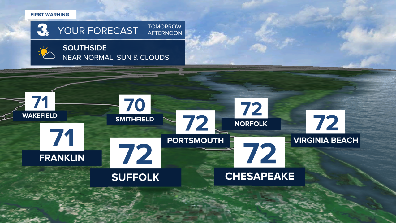
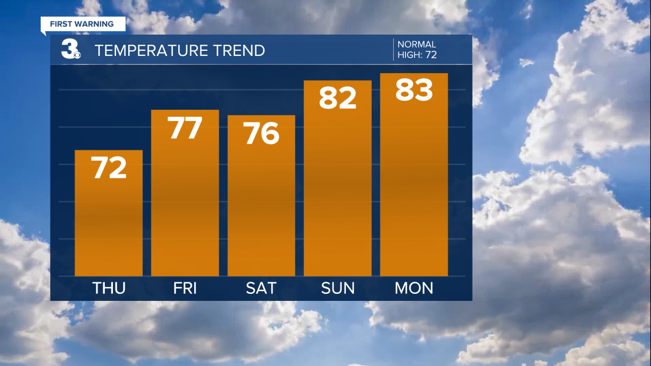
A dying disturbance will float across the mid-Atlantic on Thursday. What this means is we'll see extra clouds, especially Thursday afternoon but all of the sinking air associated with high pressure will keep us dry. Highs will warm to the low 70s Thursday, which is finally near normal for this time of year.
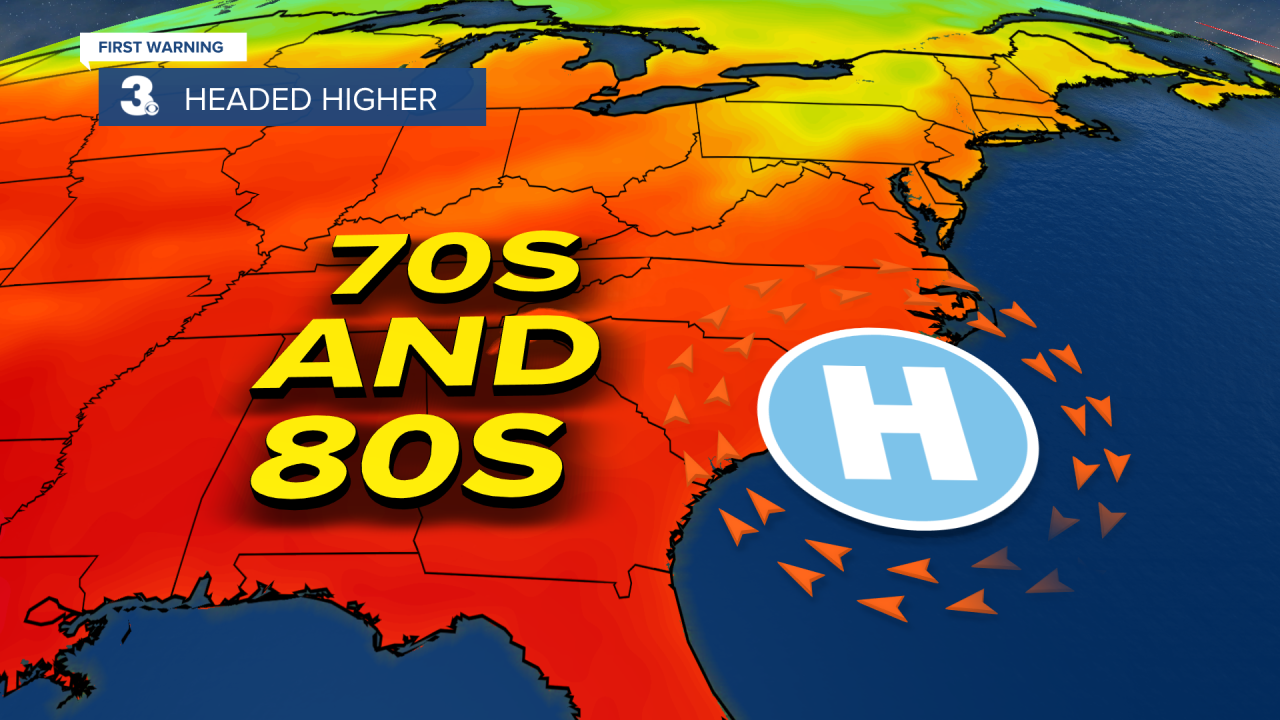
An even bigger warm up is headed our way to end the week. Starting Friday and continuing Saturday, highs will be in the mid and upper 70s. The warmest day of the weekend will be Sunday with highs in the low 80s.
Despite extra clouds on Saturday, high pressure will lead to dry weather for the rest of the week and weekend. Looks like great weather to be out and about. Maybe even get the car washed!
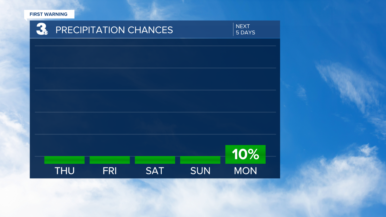
Our next chance of storms will arrive late Monday and into Tuesday. We'll keep an eye on that, but in the mean time, get outside and enjoy this LOVELY weather!