

Meteorologist Tony Nargi's First Warning Forecast
This evening temperatures will drop off rather quicky, falling into the 50s soon after sunset and into the low 40s and even low to mid 30s inland for overnight lows. A freeze warning is in effect for far inland locations, with frost advisories away from the immediate coastline.


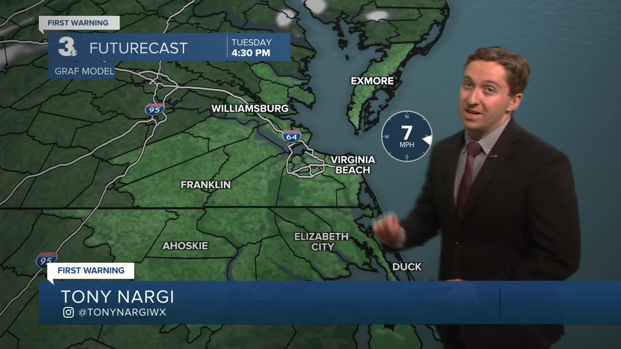
Tomorrow will start off chilly but bounce back into the low to mid 60s for most. A sea breeze will keep temperatures in the low to mid 50s along the immediate coastline. We'll see sunshine all day along with light winds out of the NE to E at 5-10 mph. It won't be quite as cool overnight Tuesday, with temperatures falling into the 40s for most. Some patchy frost will still be possible inland.

Wednesday will bring about the return of warmer weather. We'll see high temperatures in the upper 70s to low 80s. A passing shower will be possible Wednesday afternoon, with a 20% chance of rain expected. Thursday will stay mild in the upper 70s to near 80, with mostly sunny skies expected.

Our best chance at some beneficial rain will come Saturday afternoon through early Sunday morning. Early estimates suggest between 0.5" and 1" of rain for much of Hampton roads, which would be more rain than we've seen all this month!

Weather updates on social media:
