

Meteorologist Tony Nargi's First Warning Forecast
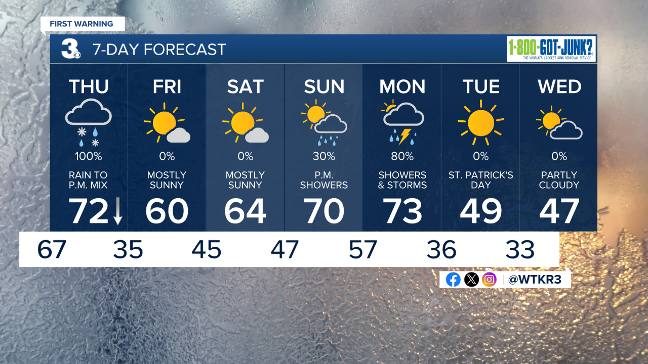
This evening will be warm and humid with temperatures staying elevated in the mid 70s even through 9 pm. Overnight lows will only drop into the upper 60s and low 70s, with clouds building later in the night. A stray shower or thunderstorm is possible late.

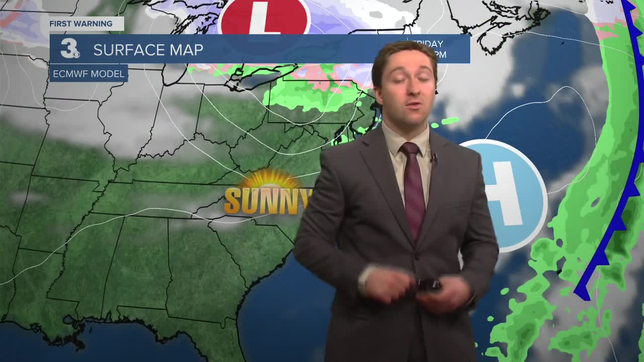
Tomorrow will start off cloudy with showers during the morning. Temperatures will be in the 70s during the early morning hours around 7 am. A sharp and quick moving cold front will move through the region during the morning, dropping temperatures rapidly into the 50s. Temperatures will continue to plummet into the 40s and 30s by the afternoon. Rain is likely during the late morning and early afternoon, which could be heavy at times with thunder and lightning possible.

A stray severe storm will be possible on the Outer Banks tomorrow afternoon. Rain will change over to a wintry mix for some and wet snowflakes further northwest late in the afternoon (after 3 pm) as temps continue to drop. Rain/Sleet/Wet Snow end by 8 pm, with wind chills dropping into the 20s overnight Friday as skies clear.
Friday will be a much calmer day, with a chilly start in the 30s followed by near normal high temperatures in the upper 50s to low 60s. We'll see mostly sunny skies throughout the day. Winds will be out of the SW at 10-20 mph. Saturday will be another mostly sunny day, with high temperatures getting into the mid 60s.

Temperatures creep back up into the 70s on Sunday and Monday. We'll see some scattered afternoon showers on Sunday, with a more widespread rain event expected on Monday.
Weather updates on social media:
