

Meteorologist Tony Nargi's First Warning Forecast
Today will be pleasant, starting off clear and cool in the 60s with high temperatures reaching the mid to upper 70s this afternoon. Some clouds will move in this afternoon, with a mix of sun and clouds expected after 12 pm. Winds will be out of the NE at 10-15 mph, gusting up to 25 mph along the immediate shoreline. Some nuisance tidal flooding will be possible again during the 2 pm high tide today. Overnight temperatures drop back into the upper 50s and 60s.


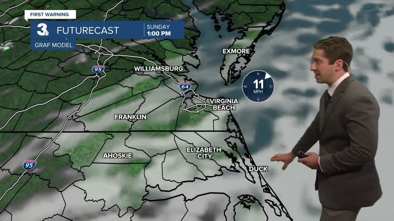
Tomorrow will be partly cloudy and pleasant once again. Highs will reach the mid 70s to around 80, with winds out of the NE at 10-15 mph. A stray shower is possible, but mainly dry conditions are expected. Dew points will be pleasant in the low to mid 60s. Monday will feature partly cloudy to mostly cloudy skies, with highs in the upper 70s to low 80s. Winds will stay out of the NE at 10-15 mph. Some spotty showers will be possible in the afternoon, with a 20% chance of precipitation. Overnight clouds and showers will start to move in as a coastal low begins to develop offshore.

Tuesday will be gloomy, with showers likely throughout the day. Highs will be stuck in the low to mid 70s. Showers will likely linger into Wednesday, before starting to depart on Thursday.

TRACKING THE TROPICS
Our quiet stretch continues with just one area of interest in the Central Atlantic, with a 40% chance of development into a tropical depression over the next 7 days. Conditions do start to become more favorable for tropical development later this week through the end of the month.

Weather updates on social media:
