

Meteorologist Tony Nargi's First Warning Forecast
This evening will be muggy and mild with temperatures sliding into the 80s this evening, with overnight lows in the 70s along with clear skies.

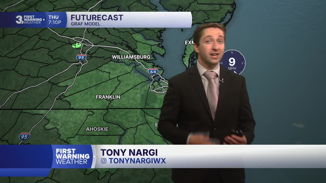
Tomorrow will be very hot, and heat advisories are in effect across the region. High temperatures will reach the mid to upper 90s, with heat indices (the "feels like" temp when you factor in humidity) will reach the mid 100s. We'll see mostly sunny skies along with winds out of the SW at 5-10 mph. Overnight skies should be mostly clear with lows in the low to mid 70s.


Friday will be even hotter than Thursday, and inland locations are currently under an extreme heat warning for heat indices up to 112 degrees. We'll see mostly sunny skies with very hot conditions as high temperatures climb to nearly 100 with a heat index hovering around 110. Winds will be light, out of the SW at 5-10 mph. On Saturday, July 4th, high temperatures will stay in the upper 90s to around 100, with the heat index once again getting up to 110. Stay hydrated and take cooling breaks if you plan on being outdoors!


The heat will start to break early next week, with high temperatures and dew points dropping a hair on Sunday. By Monday some showers and potentially strong storms will work their way into the region, cooling us off a bit Monday and especially into Tuesday.

Weather updates on social media:
