



Meteorologist Tony Nargi's First Warning Forecast
This evening we'll see on and off showers and downpours, becoming more intermittent overnight. Lows will drop into the upper 60s to mid 70s.

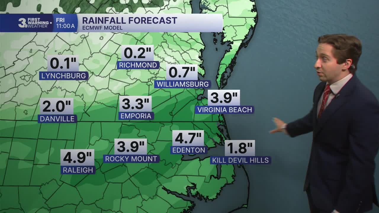
Tomorrow will start off with clouds and showers/storms. We'll see rain throughout much of the morning and the early part of the afternoon, with rain tapering off in Virginia by the mid-afternoon. North Carolina neighbors will see rain throughout the afternoon and evening. High temperatures will reach the upper 70s to low 80s. Winds will be out of the NE at 10-15 mph. Overnight lows will drop into the mid 60s to low 70s.

On Friday we'll finally see some breaks from the clouds, with partly cloudy skies returning to Virginia and Northeast North Carolina. Some isolated showers and storms are still possible, and widespread showers and storms are still expected on the Outer Banks. It will be much drier everywhere else, with high temperatures staying comfortable in the low 80s. On Saturday we'll see mainly dry conditions, with just a couple of stray showers possible. High temperatures will reach the low to mid 80s, with partly cloudy skies.


Temperatures return to the upper 80s and low 90s by Sunday, however low humidity levels should keep that comfortable feeling in the air. Dry conditions are expected to start next week.

TROPICS:
Tropical Storm Bertha made landfall at 3 PM today in St. Bernard Parish, Louisiana. It is expected to continue moving west towards Texas, and is not expected to strengthen into a Hurricane. The storm's lack of convection due to wind shear made for a picturesque landfall, check it out!


Weather updates on social media:
