
Meteorologist Tony Nargi's First Warning Forecast

Today will be the last day of the hot and humid stretch, with high temperatures reaching the low 90s for most of the region, with mid to upper 80s along the Outer Banks. Dew points will be in the 70s, leading to "feels like" temperatures in the upper 90s. Winds will be out of the S at 5-15 mph. This afternoon a cold front will approach, with increasing thunderstorm chances this evening. Isolated severe storms could produce some strong wind gusts for western parts of our area, including Williamsburg, Yorktown, Wakefield, and Northampton county in NC. Surf height will be between 2 and 3 feet, with a low risk of rip currents.

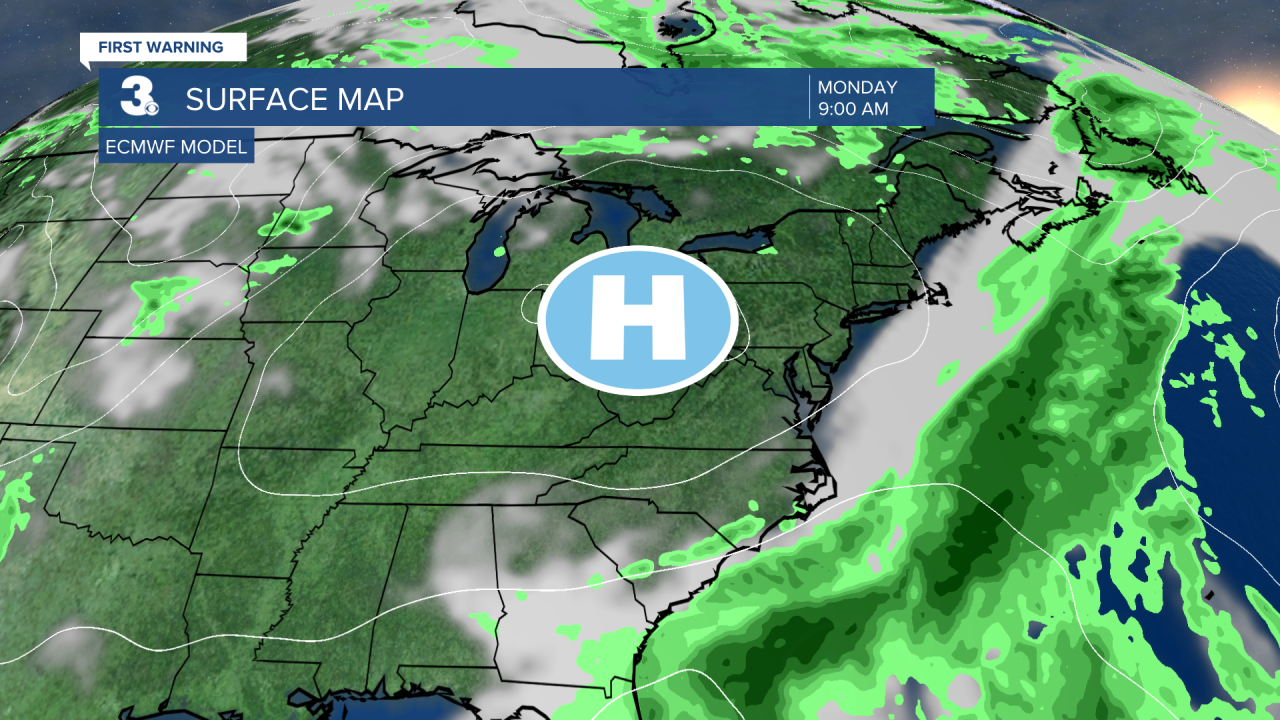
Tomorrow will start off cloudy with temperatures in the upper 60s and low 70s with occasional showers and isolated thunderstorms. It will be a cool and dreary Sunday with mostly cloudy skies and showers continuing into the afternoon. Highs will be below normal, staying in the mid 70s. Winds will be out of the N at 10-15 mph. Overnight Sunday skies will begin to clear as high pressure moves in, with temperatures dropping into the 50s and 60s. Monday will be partly cloudy and breezy, with high temperatures in the mid to upper 70s. Mainly dry conditions are expected, with just a 10% chance of a stray shower. Dew points will be much lower in the upper 50s, making for much more comfortable conditions.

On Tuesday into Wednesday rain chances will increase. A coastal low will bring clouds and the chance of showers to the area, particularly in Northeast NC. Highs will stay below normal in the mid 70s, with humidity creeping back up by the middle of next week. Things will dry out Thursday with pleasant weather returning.

TRACKING THE TROPICS
A tropical wave (Invest 91L) continues to move across the Central Atlantic. This wave has a 60% chance of forming into a tropical depression over the next 7 days. This particular wave has been trending much weaker and had previously had a 90% chance of forming just a couple of days ago. We'll keep you updated on this area as it continues to move towards the Leeward Islands in the Caribbean. Over the next couple of weeks conditions will likely become more favorable for tropical development after this recent quiet period.

Weather updates on social media:
