

Meteorologist Tony Nargi's First Warning Forecast
This evening temperatures will slide into the low 70s, with building clouds as well. Overnight lows will drop into the upper 60s and near 70.

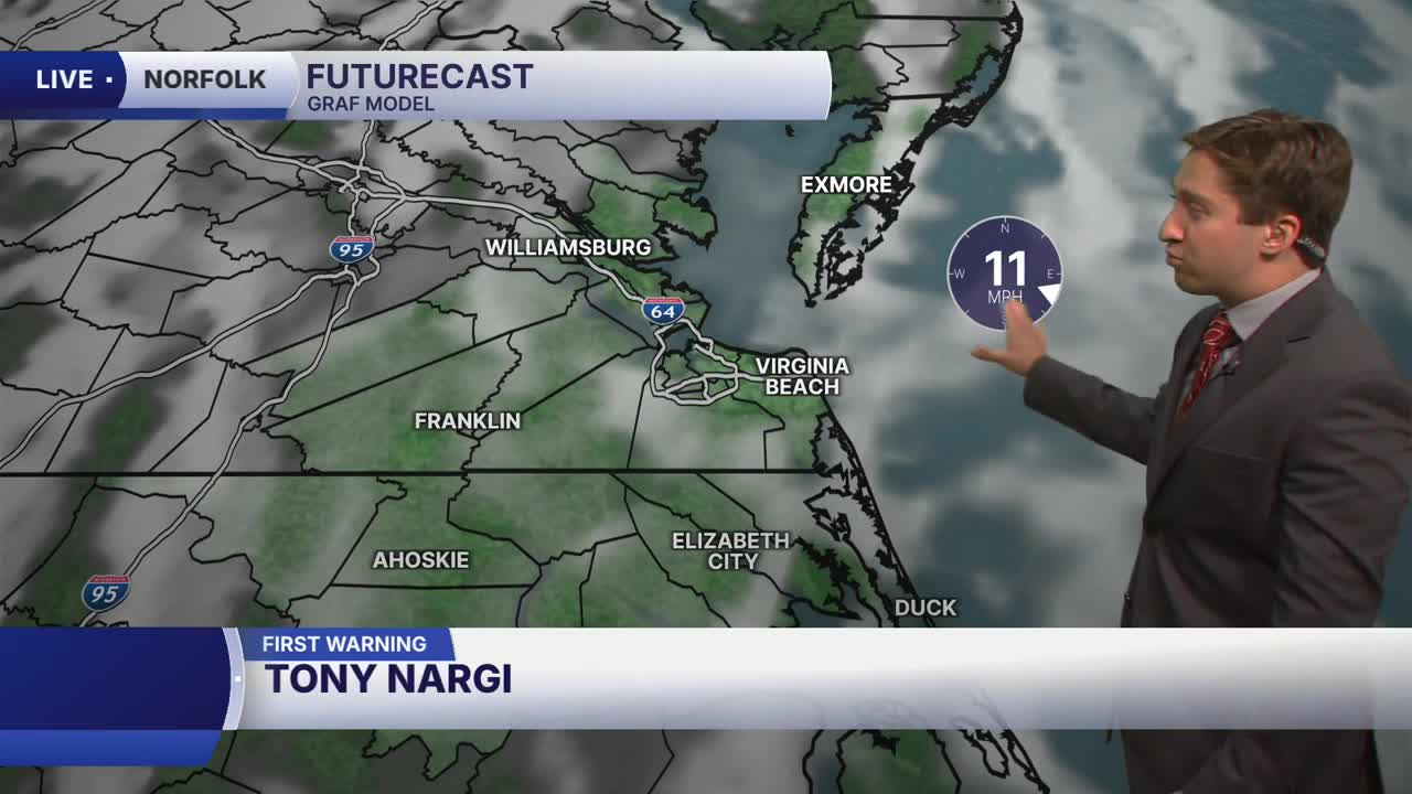
Tomorrow will be hotter, more humid, and cloudier. High temperatures will reach the upper 80s to around 90. Winds will be out of the S at 10-20 mph. We'll see mostly cloudy skies during the morning followed by some scattered showers and thunderstorms during the afternoon. Not everyone will see rain, with most of the storms focused on the peninsulas and Eastern Shore. An isolated strong to severe storms will be possible Wednesday evening.

Thursday will see a surge in temperature, with highs reaching the mid 90s and heat indices in the mid 100s as humidity climbs as well. Some lingering showers are possible during the early morning, followed by sunny skies by the late morning. A stray shower or storm will be possible during the afternoon, and an isolated severe storm may pop up during the evening. Keep an eye on the forecast if you're planning on being outdoors during Thursday evening. On Friday we'll see another round of heat, humidity, and storms during the evening.

This weekend humidity levels will drop off and rain chances should be lower. Can't rule out all showers/storms, but mainly dry conditions are expected with warm temperatures in the upper 80s and low 90s.

Weather updates on social media:
