



Meteorologist Tony Nargi's First Warning Forecast
This evening will be mostly sunny and pleasant with temperatures around 80. The winds will pick up out of the S/SW at 10-15 mph overnight. Lows will drop into the 60s and low 70s.

Tomorrow will be hot and humid, with high temperatures reaching the low to mid 90s. Dew points will surpass 70 degrees, meaning it will be noticeably more humid than in the past few days. Mostly sunny to partly cloudy skies are expected, and mainly dry conditions are expected (just a 10% chance of rain). It will be breezy, with winds out of the S/SW at 10-20 mph. Overnight some clouds will move in, with isolated showers possible and lows in the 70s.

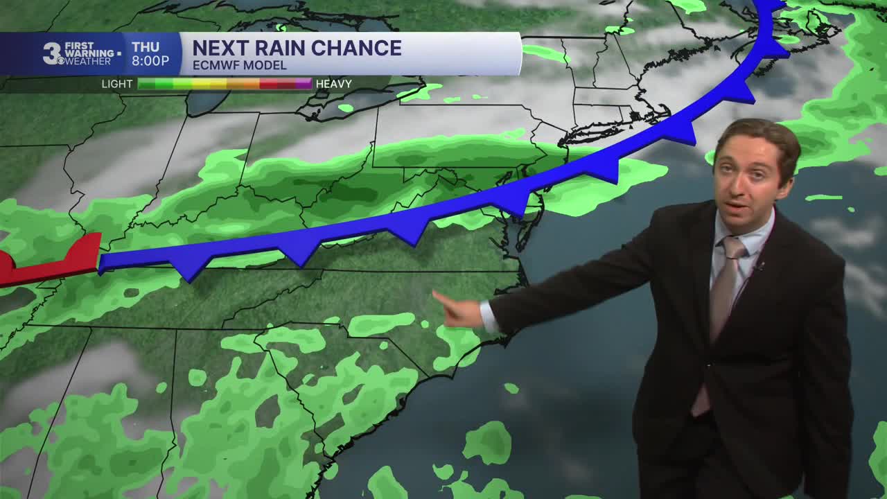
Friday will feature partly cloudy skies, becoming mostly cloudy during the afternoon. High temperatures will be slightly cooler, reaching the mid 80s. Dew points will stay elevated, with humid conditions expected through the weekend. Isolated showers and storms are possible Friday afternoon and evening. The best chance for some rain will be Saturday, with showers and storms likely throughout the afternoon. High temperatures will remain steady in the mid 80s on Saturday.

Drier conditions are expected Sunday, with just a 30% chance of rain. We'll see humid conditions persist into next week, with high temperatures in the upper 80s and feeling like the mid 90s by Monday.

TROPICS:
Tomorrow marks the climatological peak of hurricane season, yet we have no areas of interest in the Atlantic. Stay tuned for updates!
Weather updates on social media:
