

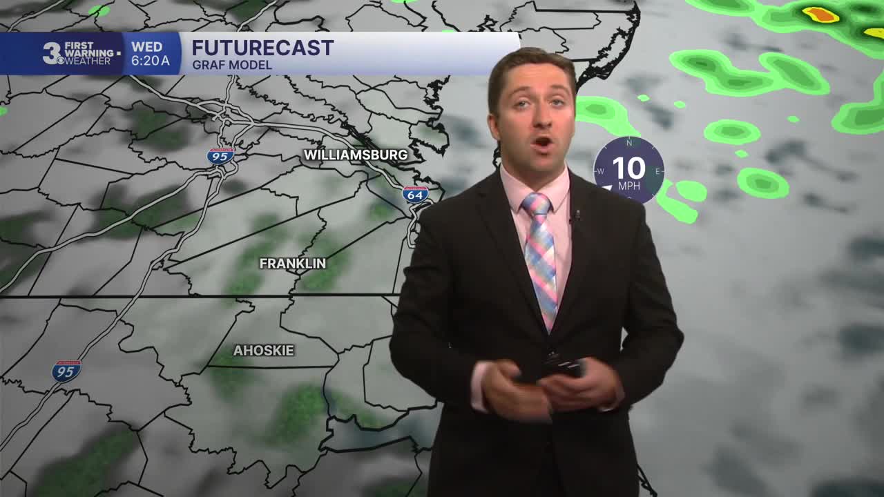


Meteorologist Tony Nargi's First Warning Forecast
This evening, scattered showers and storms will slowly taper off. We'll see overnight lows in the low 70s with patchy fog tomorrow morning.

Tomorrow will be warm and muggy, with high temperatures hitting the upper 80s to low 90s. We'll see mostly cloudy skies in the morning followed by partly cloudy skies by the early afternoon. Winds will be out of the SW at 5-15 mph. Showers and thunderstorms are back in the forecast, but most of the rain will hold off until after 3 PM. There is a chance for some severe thunderstorms tomorrow capable of producing strong wind gusts (60+ mph). Keep an eye on the radar if you plan on traveling tomorrow afternoon. On top of severe weather, we'll have another opportunity for localized flooding, with rainfall totals around 0.5" with isolated pockets over 1.5".


Thursday will bring a cold front a finally a break from the humidity and rain. Some early morning showers and storms are possible, with drier air and sunshine returning by the afternoon. High temperatures will reach the upper 70s to mid 80s, with winds out of the N at 10-15 mph. By Friday, sunny skies return along with much less humid conditions. High temperatures will reach the mid 70s Friday.

This weekend is looking nicer than the previous one, with lower chances of rain and high temperatures in the 70s.

Weather updates on social media:
