

Meteorologist Tony Nargi's First Warning Forecast
Scattered showers and storms this afternoon will dwindle as we head towards sunset, with dry and mostly clear conditions expected overnight. Temperatures will drop into the upper 60s inland with low 70s expected closer to the shoreline.

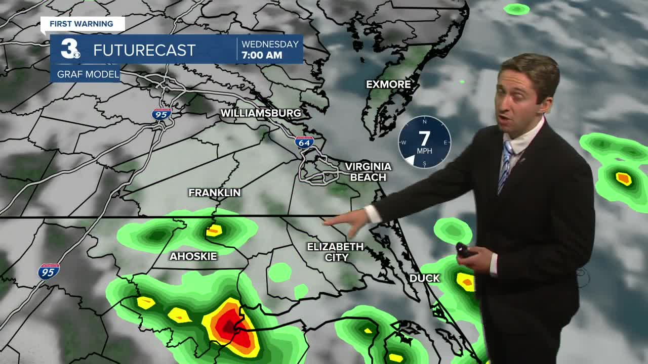
Tomorrow we'll see a return of some showers and storms with a 60% chance of rain. Spotty showers in the morning will become more numerous showers and storms in the afternoon. It won't be a complete washout, but keep that umbrella handy! Highs will reach the mid to upper 80s, with winds out of the SW at 10-15 mph. Surf will be between 1-3 feet, with a low risk of rip currents.

Thursday will be warm, with highs reaching the upper 80s to low 90s. With dew points in the mid 70s the heat index will get close to 100! On Thursday afternoon/evening we'll see another round of showers and storms as a weak cold front swings through our area. This cold front will help bring some drier conditions to the region on Friday, with just some spotty showers possible and highs in the mid 80s along with dropping dew points. As we head into the weekend high pressure continues to build behind that cold front, with mostly sunny to partly cloudy skies expected along with highs in the low to mid 80s and mainly dry weather expected!

TRACKING THE TROPICS

Tropical Storm Erin continues to trek west of the Cape Verde Islands, with sustained winds at 45 mph and gust to 60 mph. She's currently tracking over cooler waters, but by Thursday she will enter some warmer parts of the Central Atlantic and begin to intensify into a hurricane by Friday. This weekend she is slated to become a major category 3 hurricane! She's still very far away from any land as of now, and the current forecast keeps her north of the Leeward Islands and Puerto Rico, then she'll continue to trek north. It's still too far out to say how close she will get to the United States. Current modeling keeps her offshore, but its still too close to call so stay tuned for updates!

Weather updates on social media:
