

Meteorologist Tony Nargi's First Warning Forecast
Today will be warm and sunny! We'll see high temperatures reach the low 90s this afternoon. Winds today will be light, out of the SW at 5-10 mph. A stray shower is possible late this afternoon, about a 10% chance of seeing any rain today. Surf at the beach should be between 2 to 3 feet, with a low risk of rip currents today. Overnight will be mild and clear, with lows dropping into the mid 60s to low 70s.

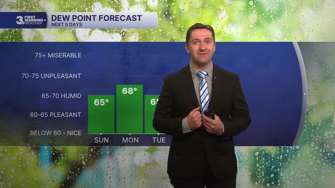
Tomorrow will be similar to today, with sunny skies and high temperatures in the low 90s. Humidity will build on Monday, with dew points in the upper 60s leading to the heat index reaching the mid to upper 90s. Winds will be light out of the SW at 5-15 mph. Overnight clear skies are expected, with low temperatures only reaching the 60s to low 70s. Tuesday we will rinse and repeat, with high temperatures in the low 90s along with mostly sunny skies. Winds will be a touch stronger on Tuesday, out of the SW at 10-15 mph.

Some clouds will start to build on Wednesday, with partly cloudy to mostly cloudy skies expected along with high temperatures in the upper 80s to low 90s. A stray shower or thunderstorm is possible late in the day, with rain developing late Wednesday night into early Thursday morning. Thursday will be our next chance for some widespread rain, with showers and thunderstorms likely all day.


Weather updates on social media:
