

Chief Meteorologist Patrick Rockey’s First Warning Forecast
Welcome to summer! We were able to ease into the new season today. But tomorrow we will dive right in.
That means more heat, more humidity and a chance for storms.
A warm front moved through today, ushering in the increase in temperatures and humidity and both of those things will ramp up tomorrow before a cold front arrives.

That cold front could bring us a few strong-to-severe storms with damaging winds being our top concern.
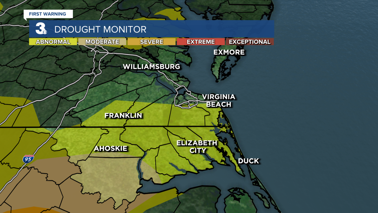
And while we don't want to see severe storms, we could really use some rain. A big chunk of our region is considered abnormally dry.
Before the storms get here, the mercury should climb into the upper 80s and the lower 90s with heat index values into the mid 90s.
Behind the cold front, temperatures will drop on Thursday, but humidity levels will stay stubbornly high.
Expect high temperatures in the mid 80s with a 25% chance for a few showers around.

A reinforcing blast of some cooler air will drop both our temperatures and humidity levels on Friday. And we should enjoy plenty of sunshine as we end
the work week.We do warm things back up for the weekend especially on Sunday. We will top out in the mid 80s on Saturday and the upper 80s to near 90 on Sunday with partly cloudy skies both days.
Monday will be downright hot and muggy with a 50% chance for storms ahead of another cold front. Behind that cold front we will be falling into the upper 70s on Thursday.
