



Meteorologist Tony Nargi's First Warning Forecast
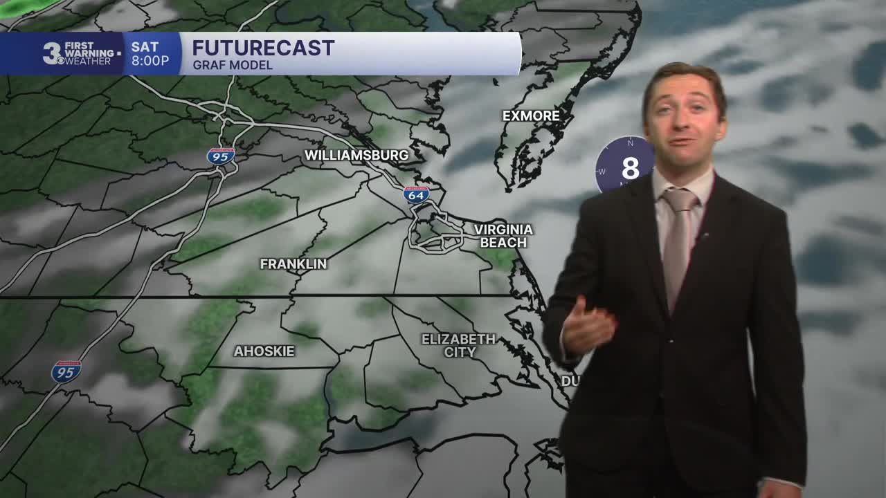
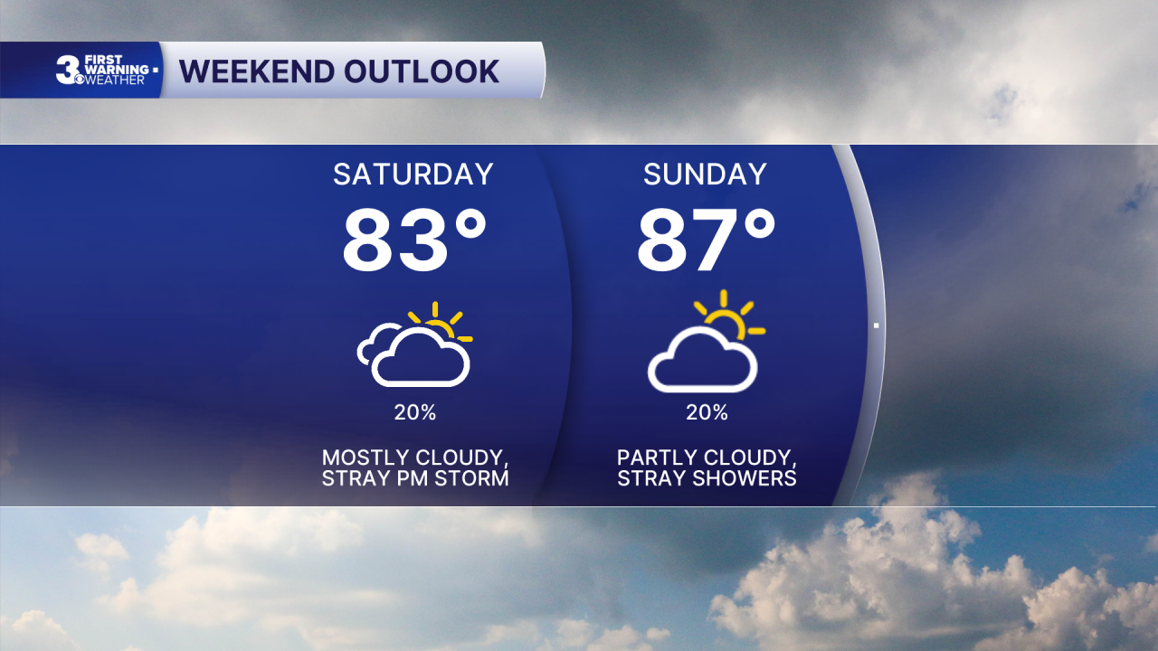
Today will be mostly cloudy with high temperatures in the low to mid 80s. We'll see isolated storms this afternoon, with a 20% chance of rain. Winds will be light, out of the NE at 5-10 mph. Overnight skies will partially clear, with lows in the low to mid 70s.

Tomorrow will start out with some clouds followed by a mix of sun and clouds by midday. Some stray showers are possible again Sunday afternoon, with a 20% chance of rain expected. High temperatures will be warmer tomorrow, in the mid to upper 80s. Winds will be light, out of the SE at 5-10 mph.
Monday will kick off a stretch with high temperatures in the 90s, with mostly sunny skies expected and high temps reaching the low 90s. With dew points in the low to mid 70s, we'll see heat indices in the low 100s. On Tuesday we'll be even warmer, with high temperatures in the low to mid 90s. Mostly sunny to partly cloudy skies are expected with just a 10% chance of rain both Monday and Tuesday.

Hot weather sticks around Wednesday and Thursday with high temperatures staying in the 90s. Thursday will be the hottest day of the warm stretch, with high temperatures in the mid to upper 90s and heat indices in the mid 100s. Isolated storms are possible Thursday with scattered storms moving in on Friday.

TROPICS:

Quiet conditions continue in the tropical Atlantic, with two areas of interest that have only a 10% chance of tropical formation. We'll monitor the area in the Gulf and the remnants of tropical storm Dolly, though tropical formation remains unlikely over the next few days.
Weather updates on social media:
