

First Warning Forecast:
Less humid and a bit cooler… Winds have shifted behind last night's cold front that brought storms to the area and this is ushering in drier, less humid air that we'll get to enjoy this afternoon. It'll be around 5 degrees "cooler" this afternoon with highs in the mid-80s and comfy dew points in the low-60s. Skies will be mostly sunny to partly cloudy and will be hazier across North Carolina where the bulk of the smoke that was over the area yesterday will settle over today. This has prompted an air quality alert for our North Carolina counties until midnight.
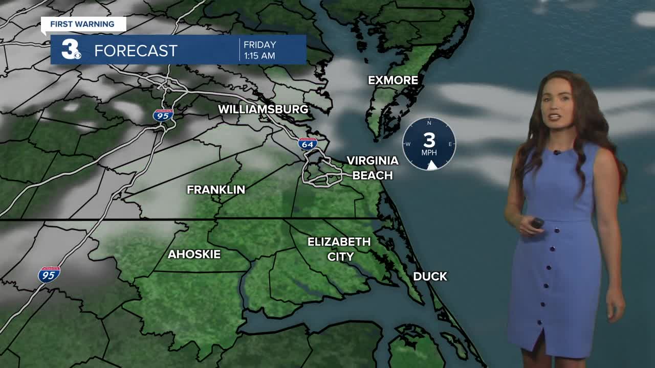
We'll end the work week with warm highs in the mid 80s Friday with only a slight chance of a shower or storm. Saturday and Sunday will feature isolated storm chances with highs in the mid 80s and low 90s. Also, the hazy sunshine thanks to wildfire smoke from out west will continue to move in periodically through the weekend.
