



Derrah Getter's First Warning Forecast
This weekend has been fantastic. The comfortable and sunny conditions extend into the start of the work week. Models are finally showing signs of rain in the nearby future.

Clear skies and mainly calm winds will allow for maximum radiational cooling tonight. Overnight lows will be in the upper 30s and 40s. Neighborhoods where temperatures drop below 40 degrees could wake up to patchy frost Monday morning.

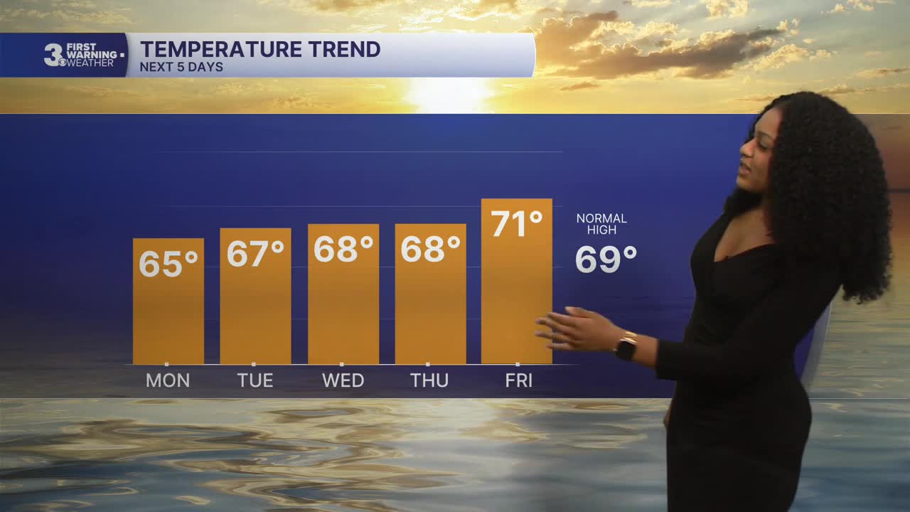
High temperatures Monday afternoon will be in the mid 60s. We'll see plenty of sunshine all day long. Temperatures will hover in the mid to upper 60s for the majority of the week. We'll be closer to 70 by Friday.
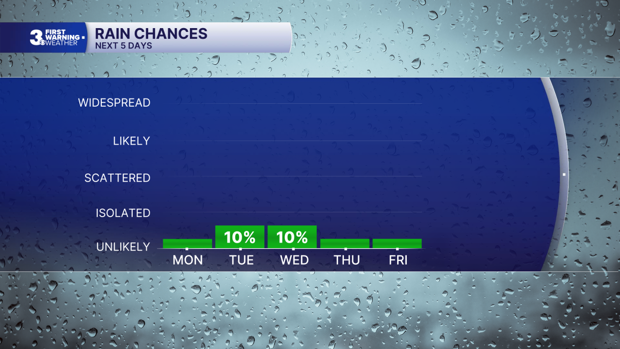
A strong ridge of high pressure remains as our dominating weather feature through the end of the week. This means mainly dry and sunny conditions last through Halloween on Saturday. Extended models are hinting at possible showers on Sunday.

Let's connect on social media!
Meteorologist Derrah Getter:
For weather updates on Facebook: HERE
For weather updates on X: HERE
Follow me on Instagram: HERE
Check out the Interactive Radar on WTKR.com: Interactive Radar
