

Meteorologist Tony Nargi's First Warning Forecast
An approaching coastal storm will bring deteriorating weather throughout the day. Today will start off cloudy with showers increasing throughout the morning from south to north. By the afternoon steady rain will start moving into the Outer Banks and Northeast North Carolina. Winds will increase throughout the day, with NE winds at 15-25 mph with gusts up to 35 mph by the evening. High temperatures will be in the upper 60s and low 70s. Overnight steady rain along with windy conditions are expected. Wind gusts up to 45 mph are possible along the coastline. Rain will total between 0.5" and 1" inland, with 1-2" of rain closer to the coast. Some isolated thunderstorms are possible, with a low-end chance of tornadoes along the Outer Banks.


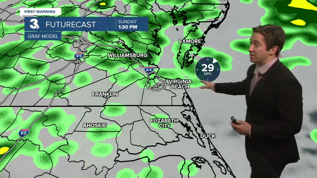
Tomorrow will be rainy with strong winds expected throughout the day. A wind advisory is in effect until 10 pm on Sunday. Coastal flooding is likely with major impacts expected. Moderate to major tidal flooding expected during the Sunday evening high tide. Rain will taper off during the afternoon, with cloudy skies and occasional showers remaining. Highs will be in the upper 60s and low 70s. Winds will be out of the NE at 25-35 mph, with gusts up to 45 mph possible.


On Monday winds will begin to taper a bit, with some lingering showers possible along with winds out of the N at 10-20 mph. Highs will be in the mid to upper 60s. Mainly cloudy skies will stay in place. Minor tidal flooding is possible during the Monday evening high tide. On Tuesday clouds will begin to depart, with partly cloudy skies expected. Highs will be in the 60s, with winds out of the N at 10-20 mph. Some nuisance tidal flooding will remain possible into Tuesday. The middle and end of next week will stay cool with mainly sunny skies expected through Friday.

Weather updates on social media:
