



Meteorologist Tony Nargi's First Warning Forecast
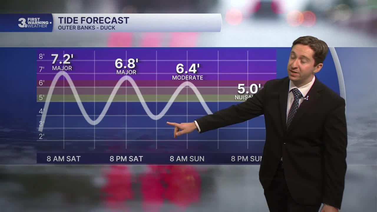
More tidal flooding and windy conditions are expected today, with flooding likely during the 9-10 AM/PM high tides. Temperatures will only reach the upper 60s to low 70s, with cloudy conditions and afternoon showers possible. Winds will be out of the NW at 10-20 mph, gusting to 30 mph inland and up to 35 mph at the coast. Overnight showers are likely on the Peninsulas and Eastern Shore, with some rain possibly extending into Southside and Northeast NC as well. Lows will drop into the 50s for most and low 60s at the coast.


Tomorrow things will start to calm down as the Nor'easter weakens. Expect mostly cloudy skies and breezy conditions, with winds out of the NW at 10-15 mph, gusting up to 25 mph. Winds completely calm down during the evening. Some stray showers and drizzle are possible on the Peninsulas and Eastern Shore. High temperatures will reach the low 70s. Tidal flooding is likely again tomorrow, however minor to moderate flooding is expected rather than the major flooding expected today.

Monday will bring some much needed tranquil weather to the region, with light winds and partly cloudy skies. High temperatures will reach the mid 70s, with winds out of the W at 5-15 mph. Dry conditions are expected, and clouds will start to depart during the afternoon. Tuesday will feature mostly sunny skies and high temperatures in the upper 70s.

Later next week is a complete 180 from this weekend, with high temperatures returning to the 80s along with sunshine and dry conditions expected.

TROPICS:

The quiet season continues! Tropical Storm Gonzalo is expected to weaken and diminish by tomorrow. Still no hurricanes have been recorded in the Atlantic as we enter October!
Weather updates on social media:
