



Meteorologist Tony Nargi's First Warning Forecast
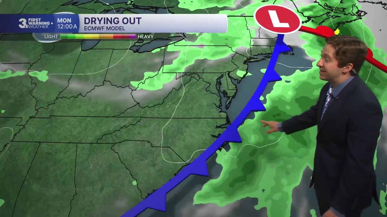
Today will be mostly cloudy and humid, with temperatures starting in the mid 70s and afternoon highs reaching the mid to upper 80s. Isolated showers and drizzle are possible during the morning, followed by scattered storms during the afternoon. The chance of rain is 70%. Keep that umbrella handy this afternoon. Winds will be out of the SW at 5-10 mph. Overnight skies will start to clear out as showers fade after 8 PM.

Tomorrow will be partly cloudy and drier, with just a 10% chance of a stray shower. It will be cooler, with high temperatures reaching the low 80s. It will be breezy, with winds out of the N at 10-20 mph. Humid conditions in the morning will start to let up by the afternoon.

Tuesday will feature very pleasant conditions and a taste of fall, with high temperatures only reaching the upper 70s and much lower humidity. Skies will be mostly sunny, with winds out of the NE at 5-15 mph. Wednesday will be another great day, with mostly sunny skies and highs around 80.

Temperatures will start to climb Thursday and Friday, with some isolated storms possible Friday. On Saturday we'll see the chance of some storms late, with rain looking possible for Sunday of next week.

TROPICS:

A new area of interest over the Central Atlantic has a 20% chance of development over the next 7 days. We'll monitor this area as this week progresses.
Weather updates on social media:
