



Meteorologist Tony Nargi's First Warning Forecast
Strong to severe storms will continue to develop over the region this evening. A severe thunderstorm watch is in effect through 10 PM. Storms will fade after 1 am with lows in the upper 70s.

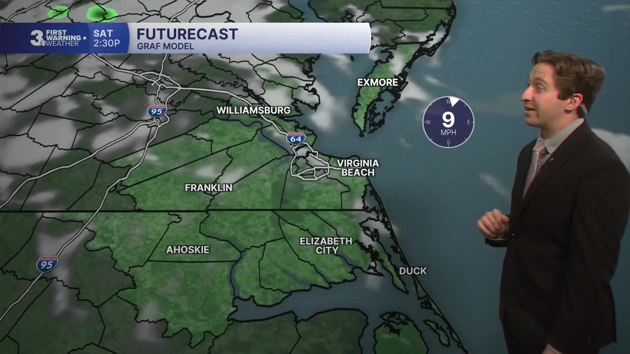
Tomorrow morning will start out mostly sunny, with high temperatures staying in the 80s Saturday. We'll see some storms during the afternoon and evening, particularly in Northeast North Carolina and the Outer Banks, where severe storms are possible. Storms are expected between 4 PM and 9 PM, with storms fading after 9. Humidity should vary on Saturday, starting off humid everywhere with drier conditions and lower humidity expected later in the day.

Sunday will feature a noticeable drop in humidity, with high temperatures only reaching the low 80s and dew points dropping into the low to mid 60s (down from the upper 70s Friday!). Partly cloudy skies are expected, and an isolated storm is possible during the afternoon. Labor Day will be excellent, with mostly sunny skies expected and highs around 80 degrees. Humidity will stay low, with no chance of rain expected for the holiday.

Next week will be very pleasant, with temperatures slowly climbing during the middle of the week along with humidity levels staying low. Temperatures return to the 90s briefly on Thursday before cooling back off Friday.

TROPICS:
All quiet! Stay tuned for any updates.
Weather updates on social media:
