

Meteorologist Tony Nargi's First Warning Forecast
This evening temperatures will drop into the 70s with a southerly breeze staying with us overnight. Lows will only reach the low to mid 60s, with mostly clear skies expected.

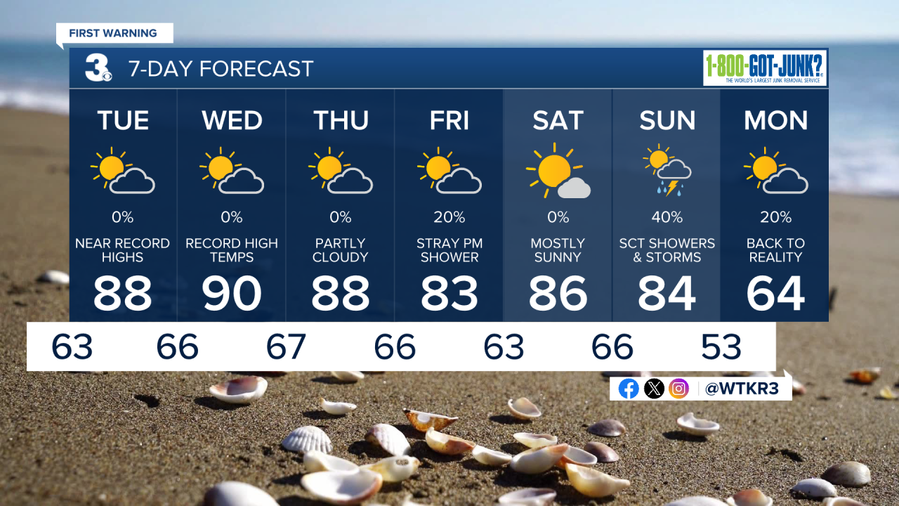
Tomorrow will feel more like Summer than Spring, with high temperatures soaring to near 90 degrees. We'll see some patchy clouds in the morning with mostly sunny skies expected by noon with sunshine lasting all afternoon! Winds will be out of the SW at 10-15 mph. The tree pollen count is expected to be very high. Overnight lows will be very mild, only dropping into the mid to upper 60s.

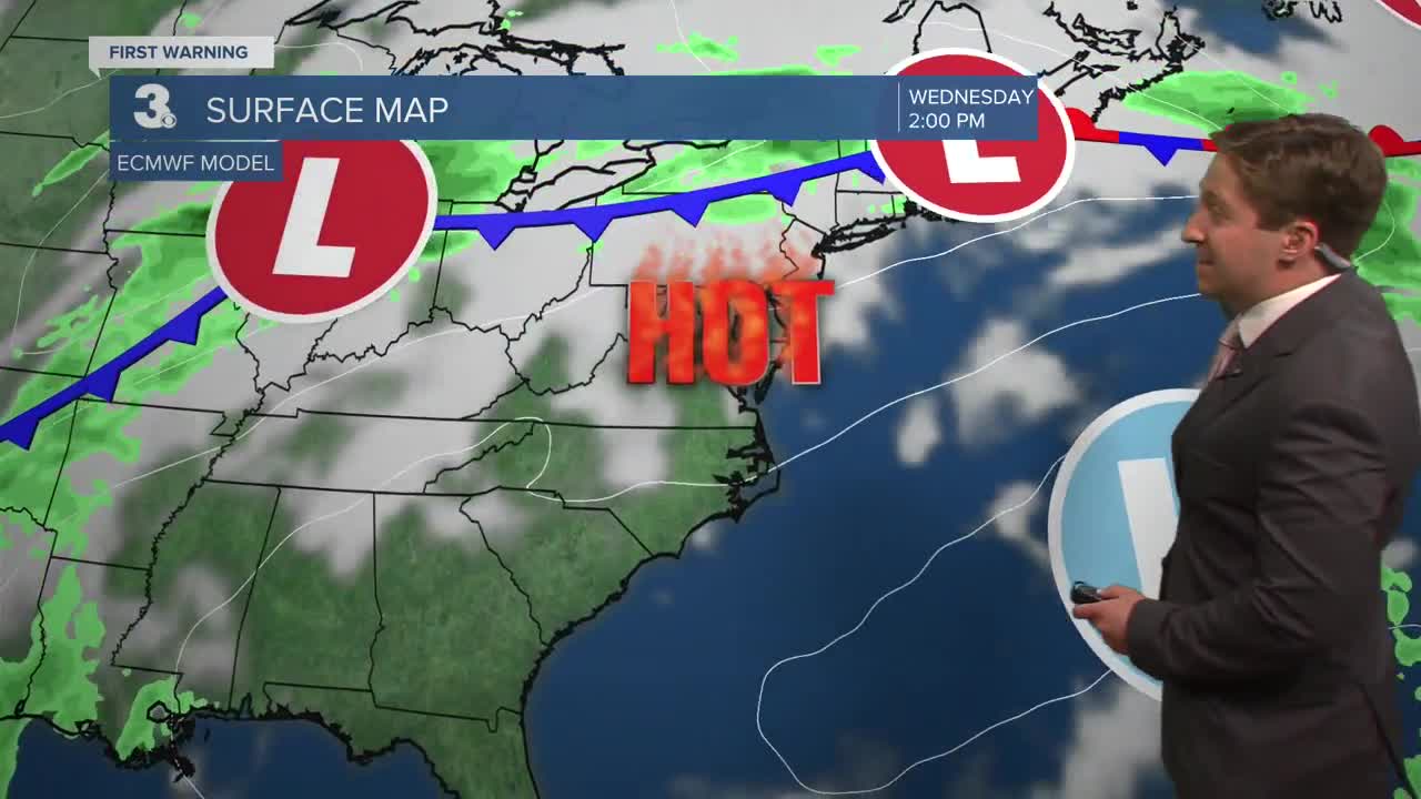
Wednesday will be the warmest day of the next week, with high temperatures jumping into the low 90s for much of Hampton Roads. It will be mostly sunny to start, with partly cloudy skies expected by the afternoon. Winds will be out of the SW at 10-15 mph. Thursday will be another warm day, with partly cloudy skies along with high temperatures back in the upper 80s to low 90s.

A few stray showers are possible on Friday as a weak cold front moves through and falls apart over the region, though the chance of rain is fairly low (20%). Temperatures remain warm this weekend, with highs in the 80s. Sunday poses a threat for showers and thunderstorms; current model data favors a late day frontal passage, meaning showers and storms are more likely during the afternoon/evening.
Weather updates on social media:
