

Meteorologist Tony Nargi's First Warning Forecast
This evening will be mild with temperatures staying about 80 degrees through 10 PM! Winds will stay out of the SW at 10-15 mph, with overnight lows in the low 70s.

Tomorrow will be our last hot day for the rest of the week, with high temperatures reaching near record levels in the mid 90s. Winds will be out of the SW at 10-15 mph, gusting up to 20 mph. We'll see mostly sunny skies throughout the day. Overnight clouds will begin to build as a cold front descends upon the region. Showers and storms are possible after midnight, with lows in the upper 60s and lower 70s.

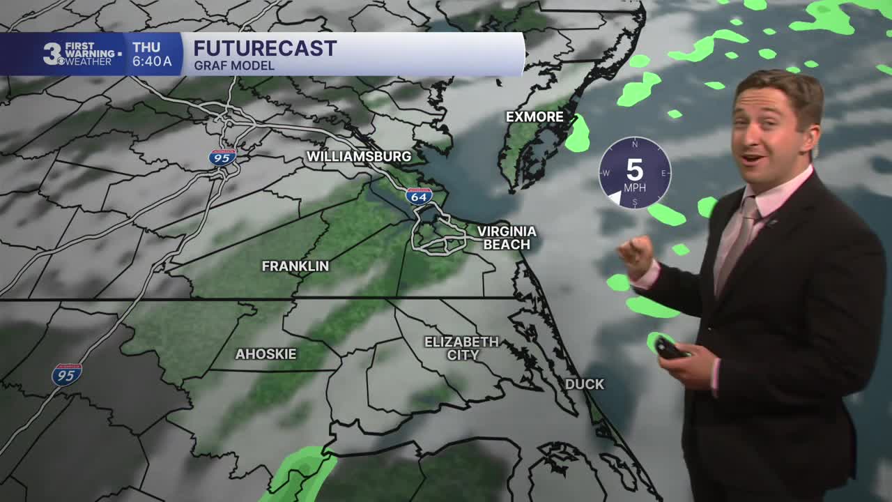
Thursday will be much cooler, with temperatures starting around 70 and staying in the low to mid 70s all day. Even cooler temperatures are likely closer to the immediate coastline thanks to winds out of the NE at 10-20 mph and gusts to 30 mph. We'll see showers and thunderstorms start to develop throughout the morning, with scattered showers becoming more prevalent by the afternoon. Around 0.25" of rain is expected, but locally heavier amounts will be possible thanks to thunderstorm activity.
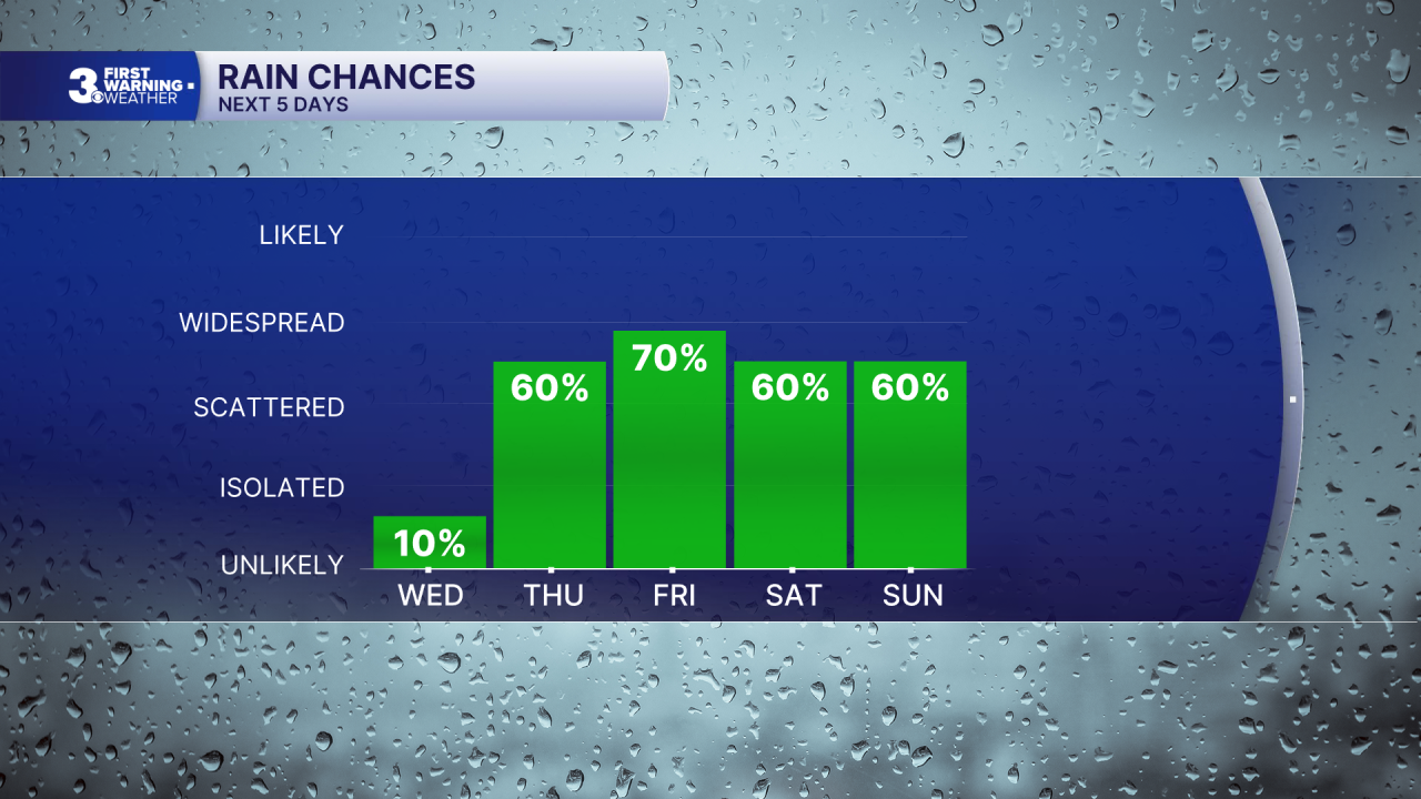

Looking ahead, Friday boasts the highest chance for rain this week, with showers likely throughout the morning and lingering into the afternoon. Temperatures will stay cool in the low 70s, with breezy conditions as well. Saturday will be warmer, with high temperatures in the upper 70s. Scattered showers and storms will be likely during the afternoon as a wetter pattern really takes hold. Sunday and Memorial Day look seasonable with temperatures in the low 80s and the chance of some scattered showers/storms on both days. However, don't go cancelling outdoor plans yet! You may have to duck inside to avoid occasional showers, but the holiday weekend will have dry stretches as well!

Weather updates on social media:
