



Meteorologist Tony Nargi's First Warning Forecast
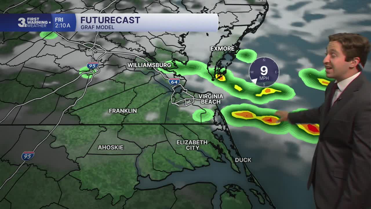
This evening will be very warm, with temperatures only dropping into the upper 80s by 10 PM and overnight lows only reaching the upper 70s to low 80s. Isolated storms are possible this evening, particularly on the Peninsulas and Eastern Shore. Any storms that do develop will be capable of producing severe weather. However, the chance of rain is relatively low, about 20%. Any storms or clouds clear out after 2 AM.

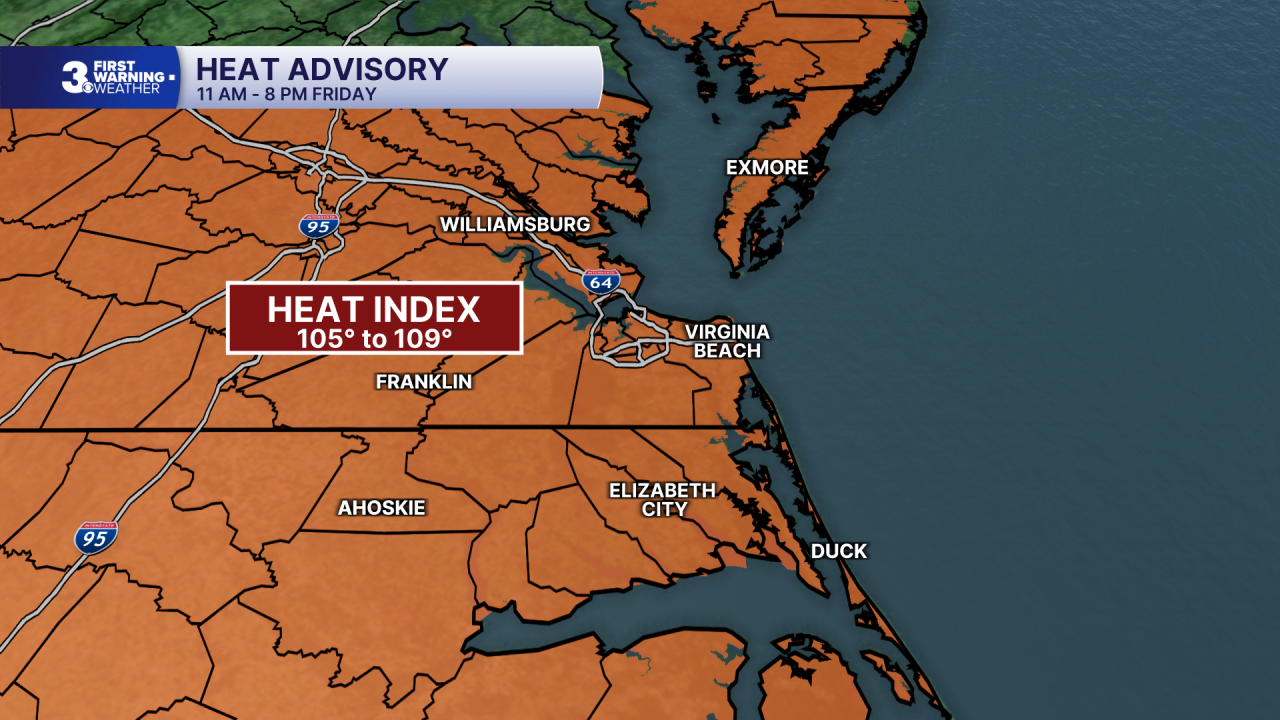
Tomorrow morning will start off mostly sunny and humid. We'll see high temperatures jump into the mid 90s by the afternoon, with heat indices surpassing 105 degrees once again. Isolated storms are possible during the early afternoon hours, but widespread storms will move into the area after 4 PM. Severe storms are also possible, and a slight (2/5) risk is in effect for the entire region. The best chance for severe storms will be between 5 PM and 11 PM, with the main risk being strong wind gusts and localized flooding. Storms will fade after midnight, with lows dropping into the 70s.

Much nicer weather is expected this weekend, with temperatures dropping into the 80s on Saturday. Some scattered storms are possible Saturday afternoon, with severe weather possible in North Carolina. Storms will be less widespread than on Friday, with a 40% chance of rain. Sunday will be drier, with just a 20% chance of rain and much lower humidity. Highs will only reach the low 80s, with partly cloudy to mostly sunny skies expected.


Labor Day looks fantastic, with completely dry conditions, low humidity, and highs around 80 degrees. Temperatures will warm up by the middle of next week, but dry weather is currently favored to go along with it on Tuesday and Wednesday.

TROPICS:

All quiet! We're one week away from the climatological peak of hurricane season ... and its crickets. This is pretty typical for an Atlantic hurricane season that coincides with a strong El Nino event.
Weather updates on social media:
