

Meteorologist Tony Nargi's First Warning Forecast
This evening we'll see clear skies along with temperatures dropping into the low 70s. Tonight, winds will go calm as overnight low temperatures hit the low 60s. We'll see mainly clear skies except for some patchy fog possible.

Tomorrow will be beautiful, with high temperatures reaching the low 80s along with a mix of sun and clouds. Winds will be out of the S at 5-10 mph, picking up to 10-15 mph overnight. It will be another great beach day, with 2 to 3 feet of surf along with a low risk of rip currents. Overnight clouds will start to build with an increasing chance for showers as temperatures fall into the mid 60s.

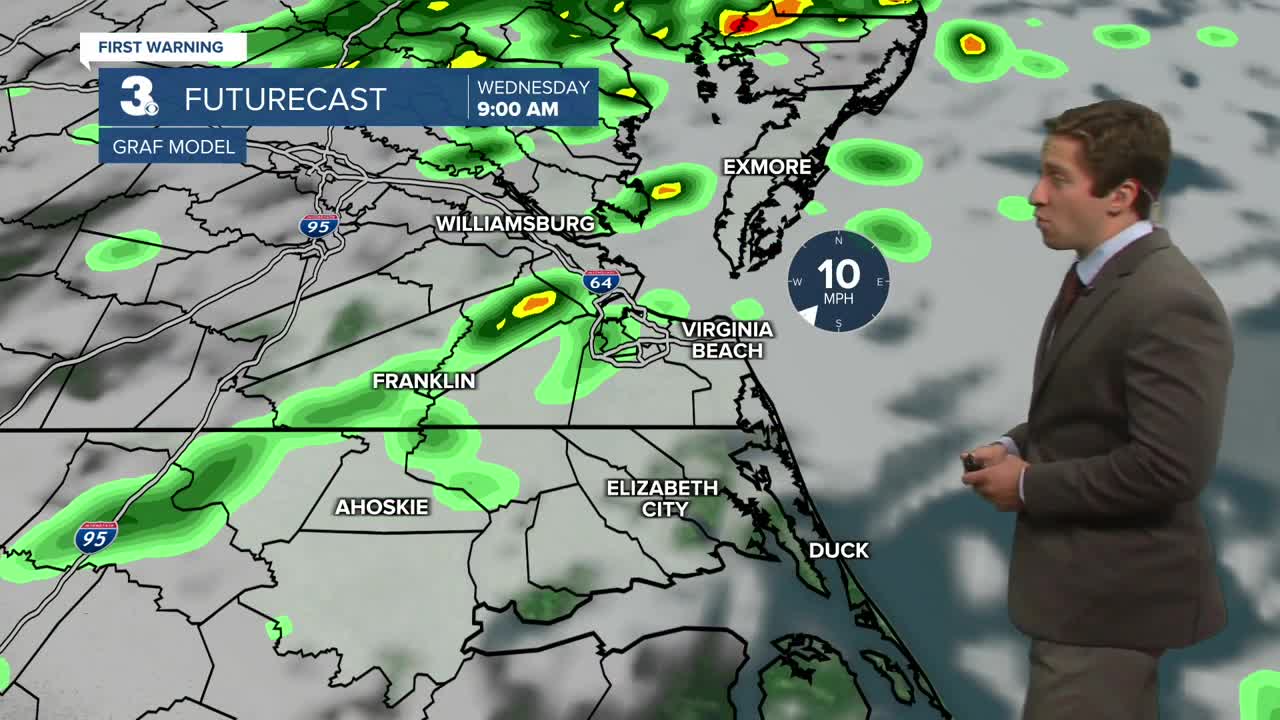
On Wednesday a cold front will pass through the region, bringing some scattered showers in the morning along with widespread showers and thunderstorms in the afternoon. About 0.5 to 1 inch of rain is expected with some isolated higher amounts possible. Highs will reach the mid to upper 70s with winds out of the SW at 10-15 mph. On Wednesday night showers will start to dissipate, with mainly dry conditions expected by Thursday. Thursday will be partly cloudy and cool, with highs in the upper 60s to 70.

This weekend we're watching the potential for a coastal storm to move into our area. Right now, it's still a bit uncertain how significant the impacts will be but expect some rain and windy conditions to be possible Saturday into Sunday.

TRACKING THE TROPICS
The tropical wave moving through the Central Atlantic that we have been monitoring now has an 80% chance of developing over the next week, and a 70% chance of developing within the next two days. This area will likely become another tropical depression or tropical storm, however it's unlikely to make landfall in the United States. Most models currently keep this system well out to sea, however we'll keep monitoring it and let you know if anything changes.
A new area west of the Yucatan peninsula has a 10% chance of developing into a tropical cyclone. This will likely fail to organize and isn't positioned to impact us.

Weather updates on social media:
