

Meteorologist Tony Nargi's First Warning Forecast
Today will be another nice one, with highs slightly cooler today in the upper 70s to mid 80s. We'll see winds out of the NE at 5-15 mph, keeping temperatures a little cooler along the shoreline. Skies will be mostly sunny to partly cloudy, with just a 10% chance of an isolated shower. Surf height will be between 2-3 feet, with a moderate risk of rip currents. Overnight lows will fall into the 50s to mid 60s, with patchy fog possible inland.

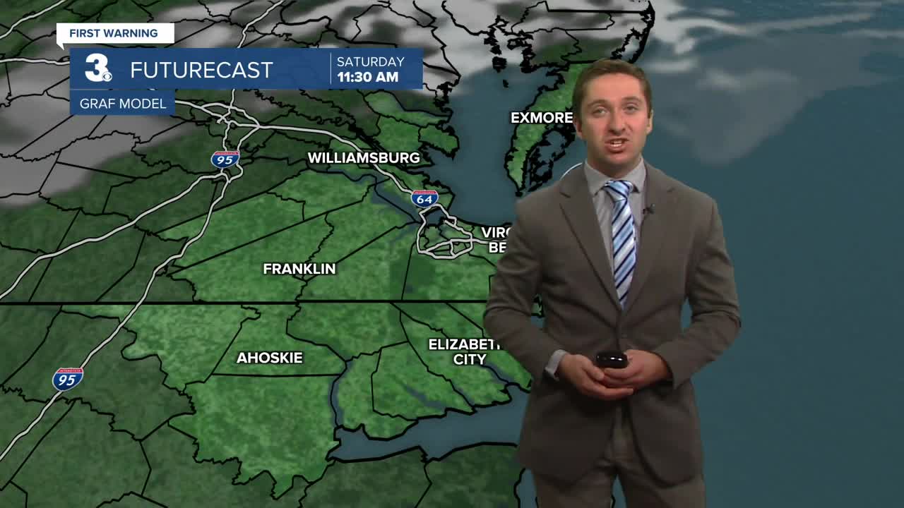
Tomorrow will be partly cloudy along with highs in the mid 70s to low 80s. It will be a bit breezy, with winds out of the NE at 10-15 mph. Mainly dry conditions are expected, with just a 10% chance of a stray shower. Monday will be the first day of astronomical fall, with the equinox occurring at 2:19 pm. It will be mainly dry again, with partly cloudy to mostly cloudy skies expected. Highs will be in the main 70s to low 80s, along with winds out of the NE at 5-10 mph.


Rain chances begin to increase by the middle of next week, with temperatures climbing back into the 80s. We'll see some thunderstorm activity on Wednesday, along with unsettled weather expected on Friday.

TRACKING THE TROPICS

Tropical Storm Gabrielle is expected to strengthen this weekend and will move north as it intensifies into a Hurricane. Gabrielle is expected to stay well to our east, tracking east of Bermuda. No impacts are expected at this time. Another area over the Central Atlantic has a low-end chance of forming into a tropical depression over the next 7 days. We'll keep you updated as things progress into next week.

Weather updates on social media:
