

Meteorologist Tony Nargi's First Warning Forecast
This evening, any remaining clouds will clear out as temperatures drop into the mid 70s. Winds will stay out of the NE overnight, dropping off the a 5-10 mph breeze. Lows will drop into the 60s to around 70s.

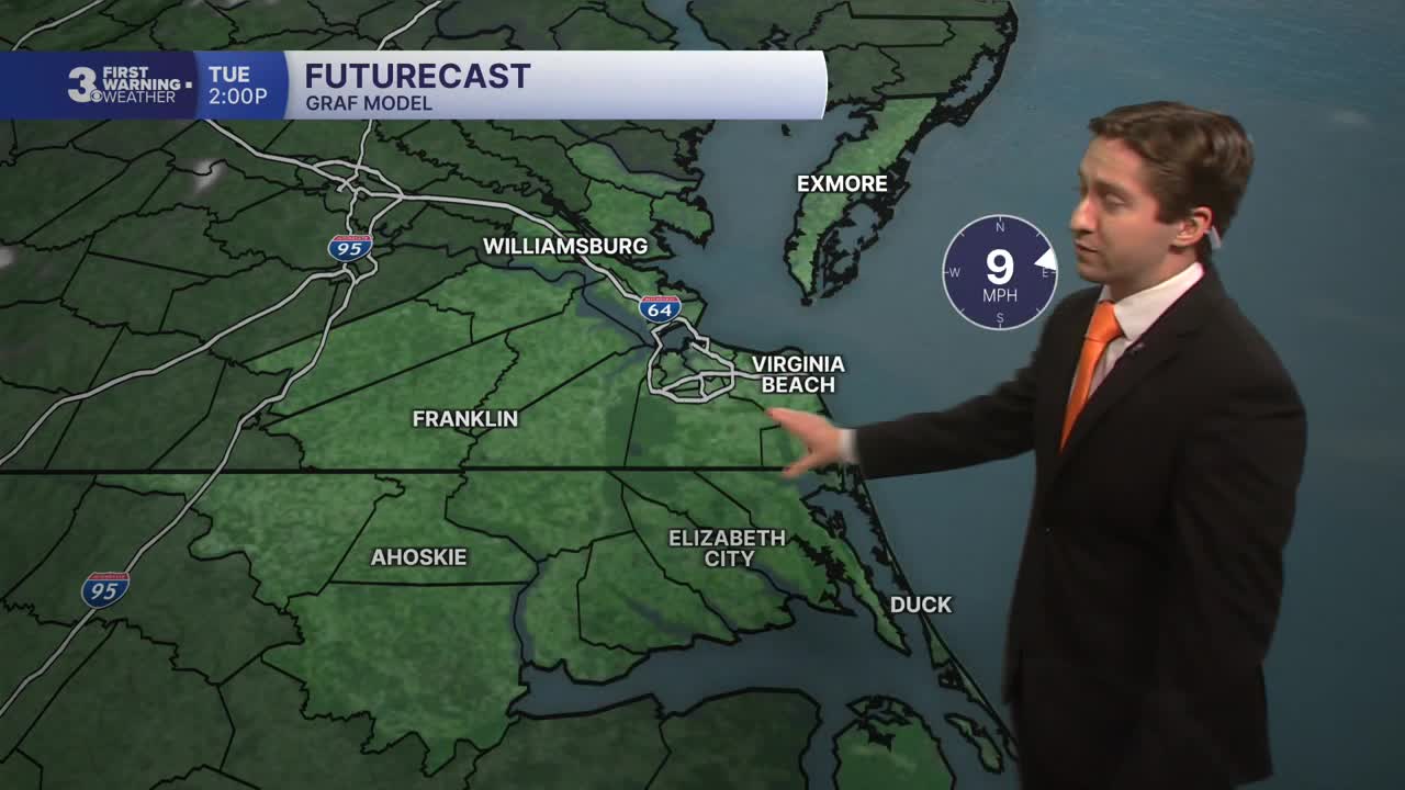
Tomorrow will be an excellent day, with mostly sunny skies expected and no chance of rain. High temperatures will be in the mid 80s, with winds out of the ENE at 5-15 mph. Dew points will be in the mid to upper 60s, so humidity will be noticeable but not oppressive. Overnight will be clear and calm with lows in the 60s.

On Wednesday heat and humidity really start to build into the region, with high temperatures climbing into the low to mid 90s. We'll see dew points jump into the 70s, so muggy conditions should be expected. Skies will be mostly sunny Wednesday. A stray shower or storm is possible with a 10% chance of rain, but most of us will stay dry. On Thursday temperatures climb even higher, with temps in the mid 90s and heat indices over 100. We'll see mostly sunny skies and light winds.

The holiday weekend is approaching and it's looking hot and humid for the 4th of July. The good news is it's looking dry on Friday and Saturday, but the extreme heat should be taken seriously and outdoors time should be somewhat limited (just be safe!).

Weather updates on social media:
