



Meteorologist Tony Nargi's First Warning Forecast
This evening will be mostly cloudy with temperatures dropping into the 60s. Overnight lows will be in the upper 50s to mid 60s, with calm winds and partial clearing expected by dawn.

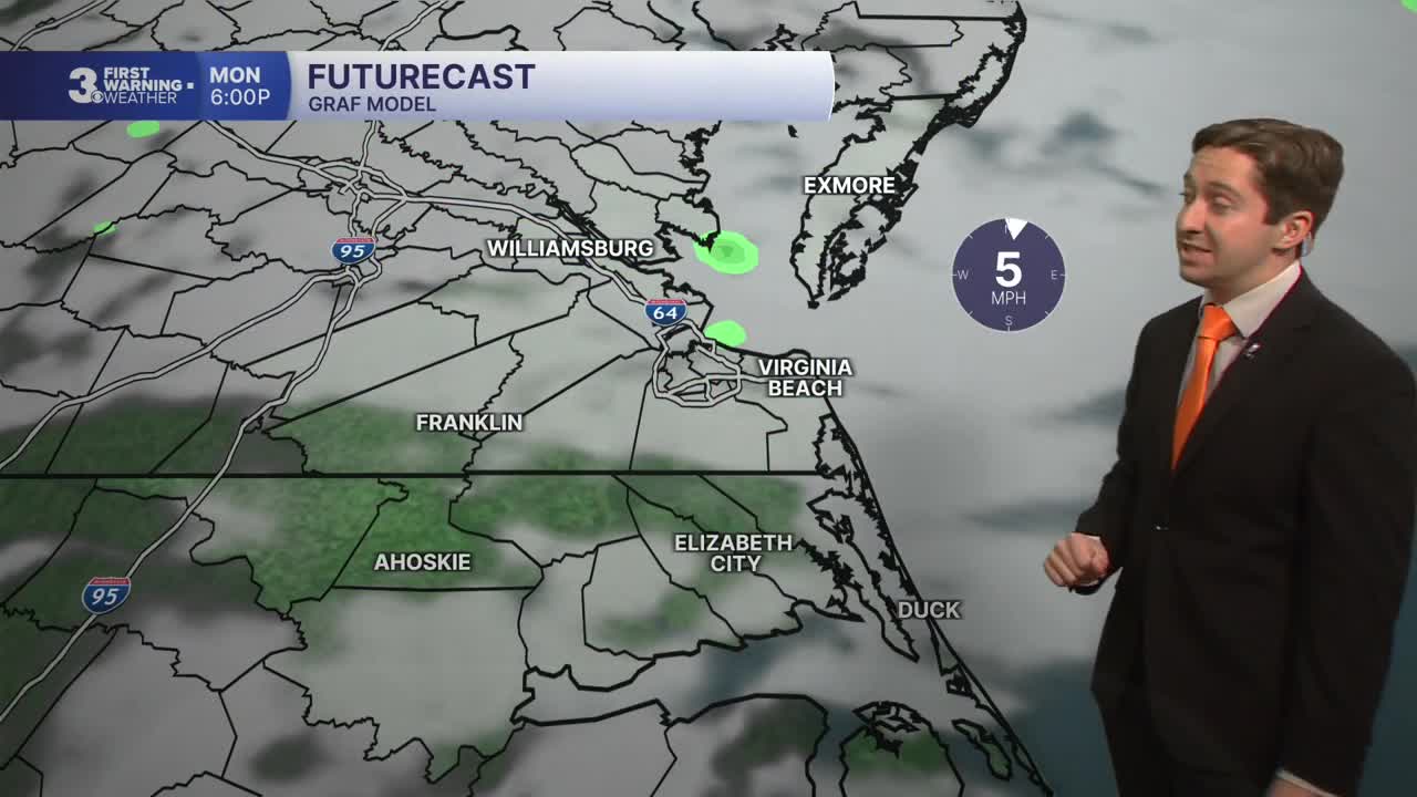
Tomorrow will be a pleasant Fall day, with high temperatures in the mid 70s and partly cloudy skies. A couple of isolated showers will pop up during the afternoon, with a 20% chance of seeing a shower tomorrow. Winds will be light out of the NE at 5-10 mph. Overnight skies will clear out completely, with lows dropping into the 50s inland and 60s closer to the coast.

Wednesday will be an excellent day, with mostly sunny skies expected and high temperatures around 80. Winds will be light again, out of the S at 5-10 mph. On Thursday temperatures will be a step warmer, with high temperatures reaching the mid 80s. Expect mostly sunny to partly cloudy skies along with dry conditions.


On Friday, high temperatures will peak in the upper 80s before cooling off behind a cold front on Saturday. Some patchy showers are possible Friday and Saturday before steady rain arrives on Sunday. Right now Sunday looks like it will be a washout with rain for most of the day, but we'll monitor the weekend forecast and update you if anything changes.

TROPICS:

Tropical Storm Hanna formed today over the Central Atlantic. TS Hanna is currently not forecast to become a hurricane and is expected to drift east and stay over water before dissipating in the next few days.
Weather updates on social media:
