



Meteorologist Tony Nargi's First Warning Forecast
This evening will be warm and humid, with temperatures in the mid 80s through midnight and dropping into the mid to upper 70s for overnight lows. Some passing showers and storms are possible after 11 PM, with a 20% chance of rain overnight.

Tomorrow will start off mostly sunny, with high temperatures jumping into the upper 80s and low 90s. We'll see some pop-up showers and storms during the afternoon, though they won't be widespread. There is a 30% chance of rain, and no severe weather is expected. Winds will be light out of the NW at 5-10 mph. Overnight lows will be warm once again, only dropping into the mid 70s.

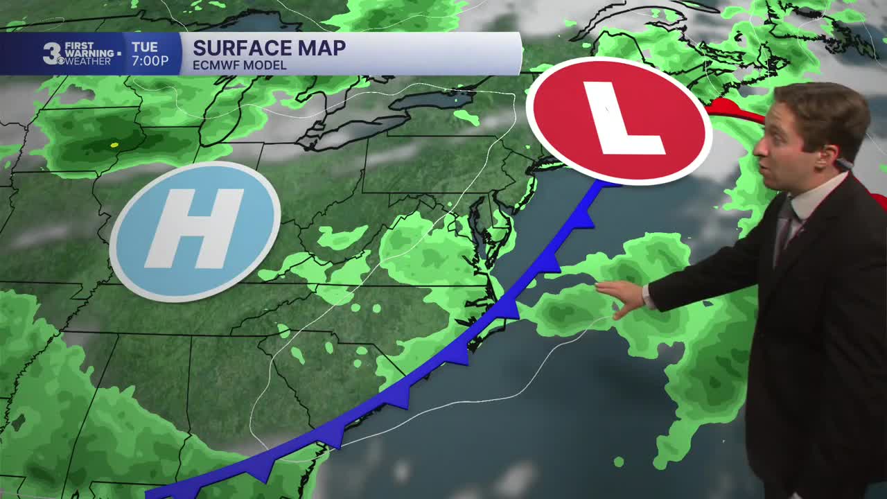
Wednesday will be an excellent day as high pressure parks itself over the region. Mostly sunny skies are expected, with just a 20% chance of a spotty afternoon shower or storm. High temperatures will reach the upper 80s, with winds out of the NE at 5-10 mph. On Thursday temperatures will jump into the low 90s, however an approaching cold front will bring cloud cover along with afternoon thunderstorms. Showers and storms will last throughout Thursday evening and night.

Friday and Saturday will feature widespread rain and storms as a cold front stalls to our south. Hefty rainfall totals are possible, with guidance suggesting a widespread 1-3"+. Rain should start to exit the region on Saturday afternoon, with relatively drier conditions arriving on Sunday.

Weather updates on social media:
