

Derrah Getter's First Warning Forecast
This evening, skies will be partly cloudy with mild conditions. Clouds quickly build overnight.

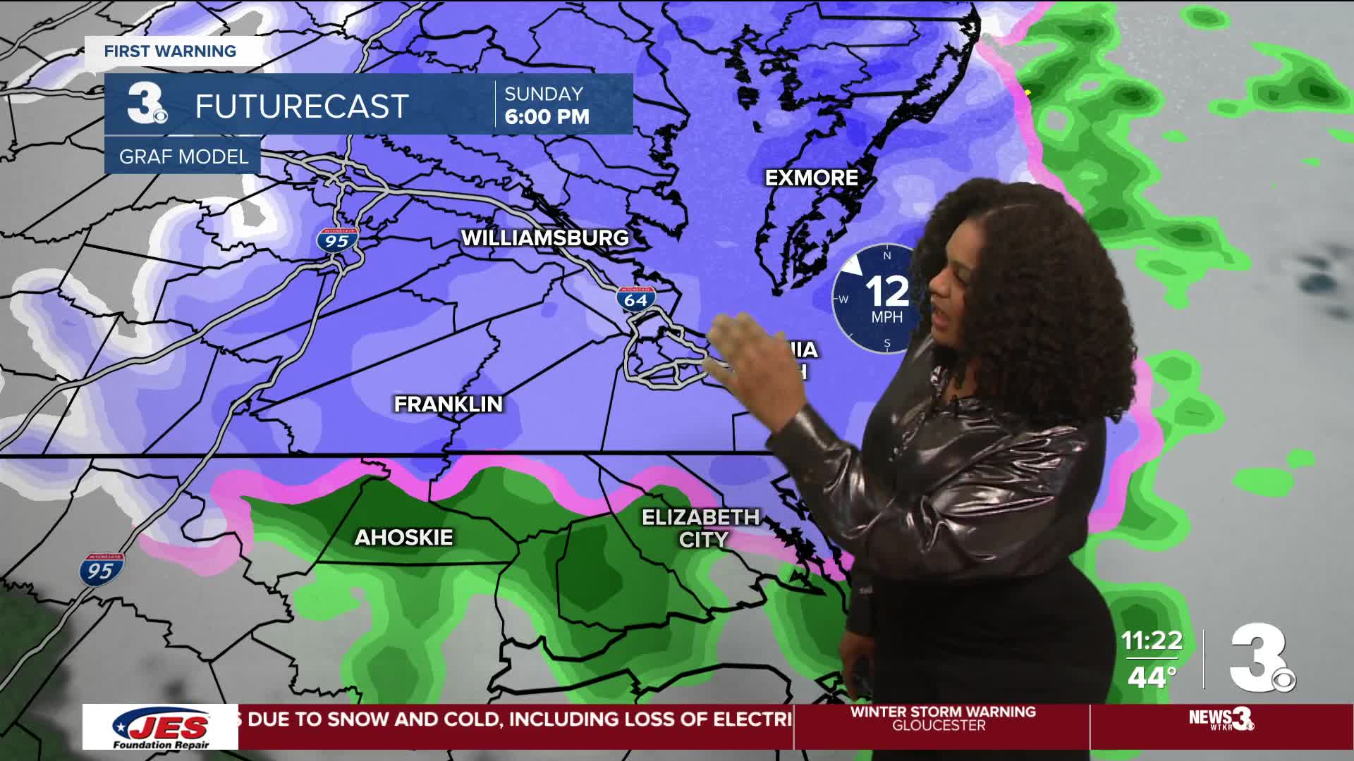
Widespread rain moves in early Sunday morning. Showers briefly fade around midday. It will be an upside-down day with temperatures starting in the mid 40s and cooling to the 30s during the afternoon and evening. This will allow for the rain to transition into snow Sunday night. The highest snowfall totals will be found along the Eastern Shore. 1-3" is expected for Northampton (VA) and Accomack counties, but locally higher amounts of up to 6” will be possible.

Winds ramp up Sunday night and into Monday morning. Gustsup to 40 mph have prompted Blizzard Warnings for ESVA from 1 pm Sunday to 7 pm Monday.
Temperatures will be in the 40s to start next week, but we quickly find our way back near 60 Wednesday.Another round of rain moves through mid to late next week.

Let's connect on social media!
Forecaster Derrah Getter:
For weather updates on Facebook: HERE
For weather updates on X: HERE
Follow me on Instagram: HERE
Check out the Interactive Radar on WTKR.com: Interactive Radar
