



Meteorologist Tony Nargi's First Warning Forecast
Tonight will be cloudy and humid, with a few storms possible for inland areas between 6 PM and midnight. Lows will reach the 60s and low 70s. It will be a bit breezy, with winds out of the E at 5-15 mph.

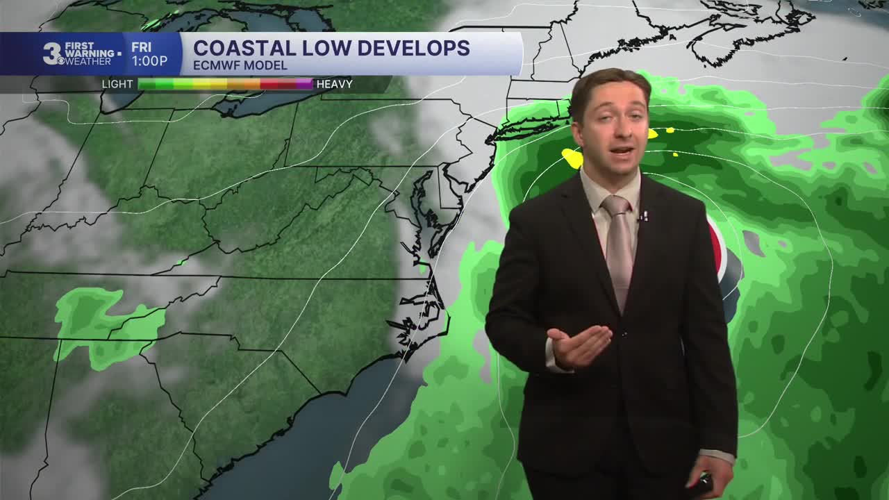
Tomorrow will feature cloudy skies in the morning with showers and storms developing. A coastal low will start to organize Tuesday afternoon, causing winds to strengthen out of the NE from 10-20 mph in the morning to 20-30 mph during the afternoon, with gusts up to 35 mph. This will not be a tropical storm, however impacts will be similar to one parked off the coast. Tidal flooding will be possible Tuesday afternoon during the 7 PM tide cycle, and heavy rain may cause localized flash flooding as well. High temperatures will be in the mid to upper 70s. Overnight expect showers and windy conditions, with lows in the 60s.

On Wednesday we'll see rounds of rain along with windy conditions thanks to the strengthening coastal low. Multiple rounds of tidal flooding are expected, one during the morning commute and one during the evening (around 8 am/pm). High temperatures will be in the mid 70s, with winds out of the NE at 20-30 mph, gusting up to 40 mph along the coast. Windy conditions will continue into Thursday, with occasional wind driven showers and drizzle possible as well. 1 to 3 inches of rain is expected in total from Tuesday through Thursday.


On Friday drier conditions with breaks of sunshine are expected, with windy conditions continuing and tidal flooding likely again. Saturday will be similar, with winds dropping off Saturday evening. Temperatures will be significantly cooler, with highs in the upper 60s to low 70s. Sunday looks to be completely dry as the coastal storm starts to weaken well to our north.

TROPICS:

Tropical Storm Fay is expected to weaken over the next few days, and will not impact land. A new area of interest will move off the African coast later this week, and currently has a 20% chance of development. We will monitor this tropical wave as it moves through the main development region.
Weather updates on social media:
