

Meteorologist Tony Nargi's First Warning Forecast
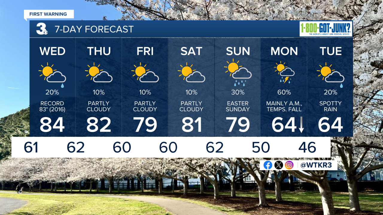
This evening will be warm and clear, with temperatures in the 70s along with a SW breeze at 10-15 mph. Overnight lows will only drop into the 60s, with clear skies expected.

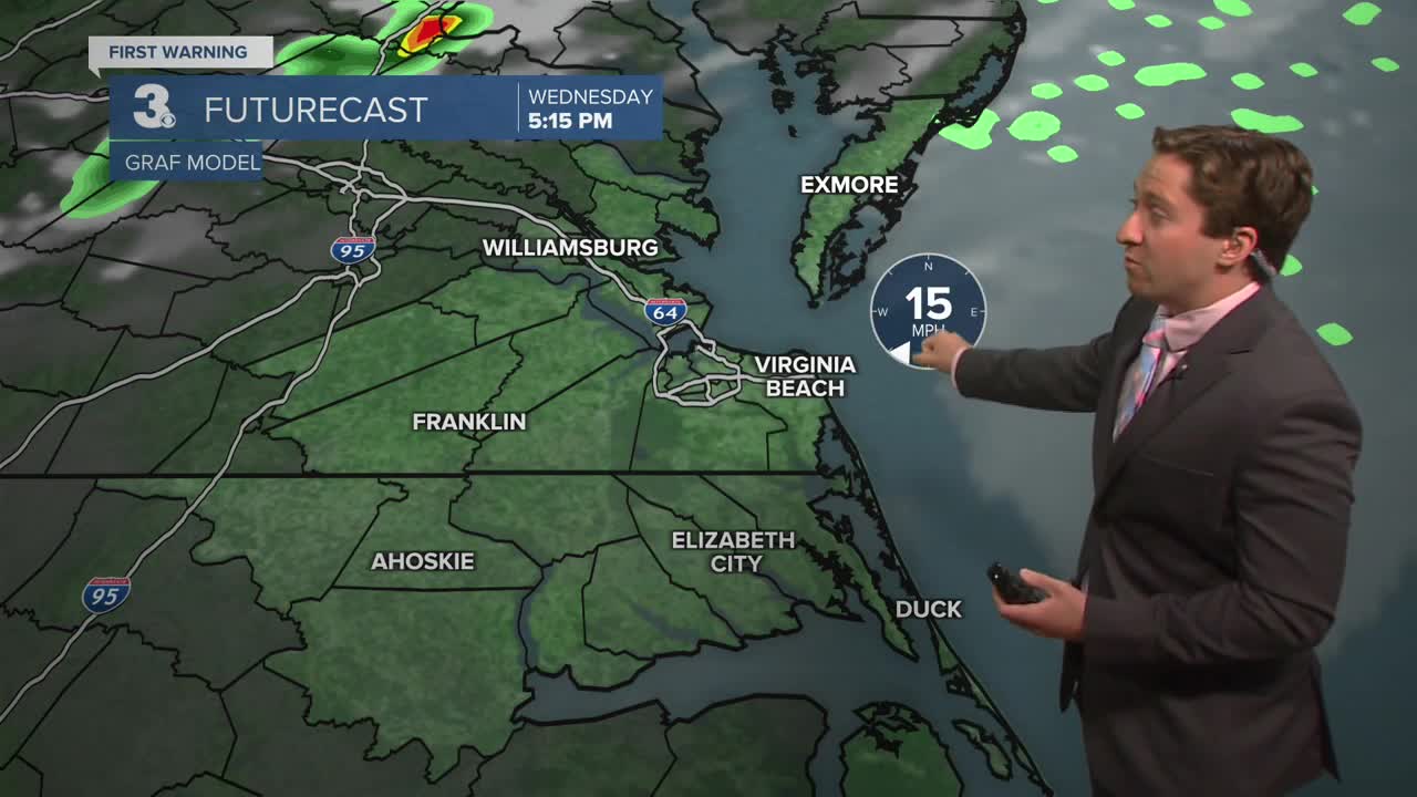
Tomorrow will be mostly sunny with near record high temperatures expected! High temps will be in the mid to upper 80s, with winds out of the SW at 10-20 mph. A stray evening thunderstorm is possible on the Eastern Shore, most of the thunderstorm activity will stay to our north. Overnight lows will be in the 60s with a 20% chance of a shower or storm.

Thursday will be another warm one, with high temperatures in the low to mid 80s along with a breeze out of the S at 10-15 mph. We'll see partly cloudy skies and mainly dry conditions, with just a 10% chance of a stray shower. Friday will be another warm one, with high temperatures near 80.

Easter weekend is looking great for egg hunts! Warm weather continues into Saturday and Sunday, with just a 30% chance of a shower late on Sunday evening. Rain moves in Sunday night into Monday morning, with cooler temperatures following.
Weather updates on social media:
