

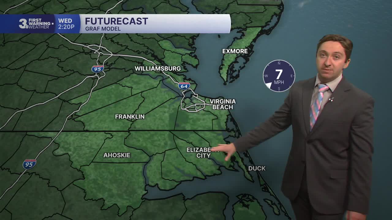


Meteorologist Tony Nargi's First Warning Forecast
This morning will start off with mostly sunny skies and calm winds. Temperatures will quickly warm into the 70s this morning, with afternoon highs reaching the low 80s. Winds will be light out of the S at 4-8 mph. Clear skies are expected this afternoon, with no chance of rain. Overnight skies will be clear with calm winds and lows in the 60s along the coast and 50s further inland.

Tomorrow will be very warm for mid-October, with high temperatures soaring into the upper 80s and even low 90s for inland locations. We'll see mostly sunny skies and a light breeze out of the SW at 5-15 mph. After the record highs, a cold front will move through on Wednesday night, bringing temperatures down for our Thursday.

Thursday is looking dry, with partly cloudy skies becoming mostly cloudy later in the day. High temperatures will reach the mid 70s, right around normal for this time of the year. We'll see mainly dry conditions, with just a 20% chance of a stray shower. On Friday high temperatures will soar ahead of a cold front, with high temperatures reaching the mid to upper 80s. We'll see a cold front move through the region Friday evening/night, bringing a brief period of showers/storms through and much cooler temperatures come Saturday.

High temperatures will plunge into the low 60s by Saturday and Sunday as cool fall air returns. Dry and sunny conditions are expected, with temperatures getting closer to normal by Monday.

TROPICS:

Quiet conditions continue in the wake of Hurricane Isaias, with just a 10% chance of development for the area of interest off of Cabo Verde.
Weather updates on social media:
