

Derrah Getter's First Warning Forecast
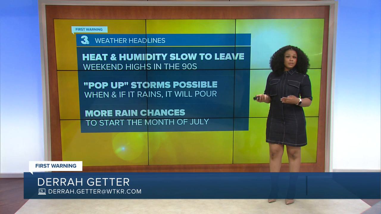
A back door cold front brings slightly less hot conditions to most of Hampton Roads. Warmest temps are in Northeast North Carolina where a heat advisory is in effect until 7 pm.

A few isolated storms pop up this evening. Some storms could turn severe with damaging wind gusts being our primary concern.
The heat lingers into the weekend with "feels like" temperatures near 105 degrees. Highs both days will be in the mid 90s. There's a slight chance for storms with higher rain chances Sunday.

A cold front arrives by the middle of next week bringing us our greatest chances for widespread rainfall. The rain will help push temperatures back to normal on Wednesday. The 4th of July looks to be mainly dry with highs in the upper 80s.

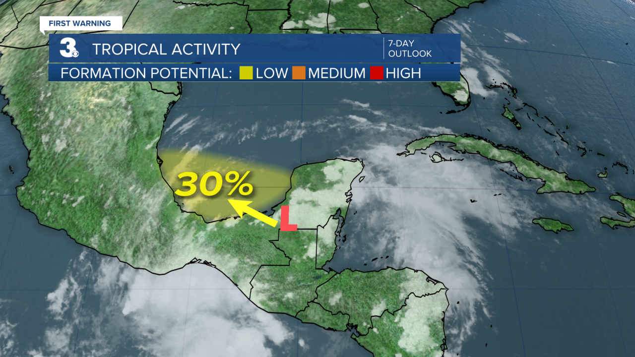
Atlantic Hurricane Update:
As of 6/27/2025, 2 pm
An area of low pressure has formed over the Yucatan Peninsula. It is expected to move west-northwestward this weekend into the Bay of Campeche. There is a 30% chance of hurricane development within the next week.
Let's connect on social media!
Forecaster Derrah Getter:
For weather updates on Facebook: HERE
For weather updates on X: HERE
Follow me on Instagram: HERE
Check out the Interactive Radar on WTKR.com: Interactive Radar
