

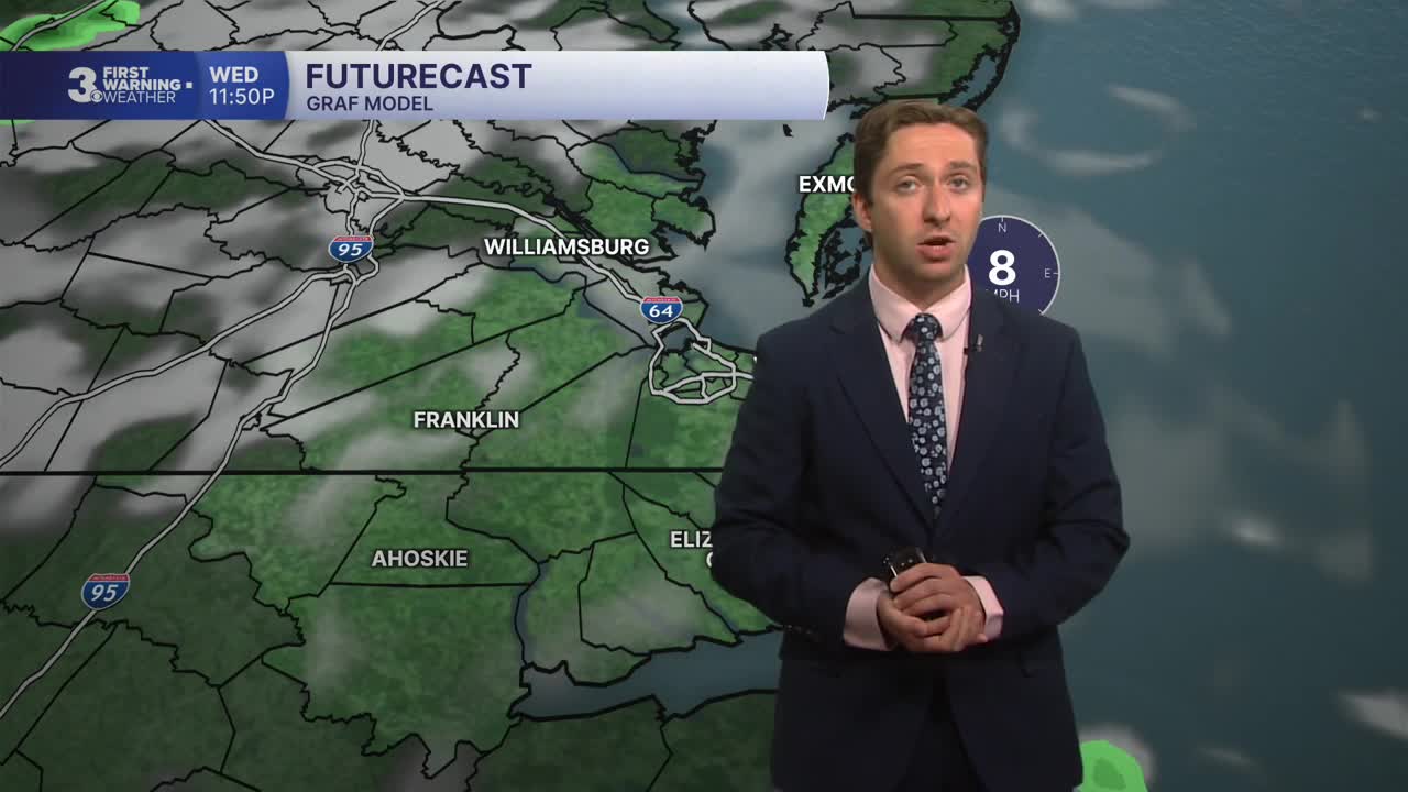


Meteorologist Tony Nargi's First Warning Forecast
We've seen some amazing weather the past few days, but rain is on the horizon and clouds are expected to start filling in this evening. Humidity will also be on the rise, with mostly cloudy skies developing later tonight. Lows will drop into the upper 60s and low 70s.

Tomorrow will start off with mostly cloudy skies and isolated showers expected during the morning. We'll see storms develop slowly throughout the late morning, with scattered storms expected throughout the afternoon. The chance of rain is 60%, with high temperatures reaching the mid to upper 80s. Winds will be out of the S at 5-10 mph, with dew points in the low 70s. Overnight skies will partially clear with storms subsiding; lows will drop into the low 70s.

Friday will feature dry conditions during the morning followed by afternoon thunderstorms developing. High temperature will reach the mid 80s, with humid conditions expected again. Isolated severe storms are possible, with a flash flooding threat as well. On Saturday some storms will linger into the morning and early afternoon, with storms clearing out by the evening. Highs will reach the low 80s, with humid conditions staying in place.

Drier and warmer conditions are expected to begin next week. High temperatures will jump into the 90s Monday and Tuesday with humid conditions remaining.

TROPICS:

The area of interest moving through the Main Development Region of the tropical Atlantic has been dropped to a 60% chance of development. This area will likely run into some poor conditions for strengthening as it gets closer to North America, so even if it does form into a Tropical Storm it's unlikely to impact the US.
Weather updates on social media:
