



Meteorologist Tony Nargi's First Warning Forecast
This evening any lingering showers and clouds will start to clear out, with partly cloudy to mostly clear skies expected overnight. Lows will drop into the upper 60s to low 70s.

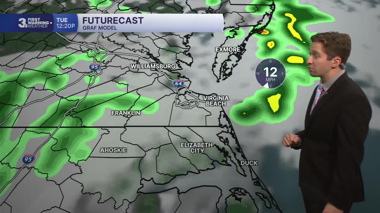
Severe storms are possible Tuesday afternoon/evening. Clouds will increase throughout the morning, and a passing shower is possible through midday. Storms will begin to move into the area around 3 or 4 PM, with severe storms possible from 4 PM through 10 PM, in particular around 6-8 PM is when I think we'll see the worst of the storms. The main hazard will be wind gusts up to 60 mph, though an isolated tornado or isolated large hail up to an inch in diameter will be possible. High temperatures will reach the upper 80s to around 90, with winds out of the S at 10-20 mph. Overnight skies will start to clear out, with lows in the low 70s.


Wednesday will be a nice day, with mostly sunny skies expected and highs in the mid to upper 80s. We'll see winds out of the N at 5-15 mph. A stray shower is possible during the afternoon, though the vast majority of us stay dry. On Thursday we'll see another nice day, with comfortable humidity levels and highs in the mid 80s. We'll see mostly sunny skies and just a 10% chance of a stray shower.

We'll round out the week with back-to-back dry and seasonable days Friday and Saturday. On Sunday another chance of storms moves into the picture, but right now those storms look to be more isolated in nature with just a 30% chance of rain.

Weather updates on social media:
