

Meteorologist Tony Nargi's First Warning Forecast
Today will start out mostly cloudy and mild, but cooler weather is moving this morning and a drop in temperature is expected after 9 AM. Temperatures in the upper 60s and 70s drop into the 50s by the afternoon. The wind will pick up out of the N at 15-25 mph, with gusts up to 35 mph possible around midday. Some scattered showers are expected around midday, with rain chances ending after 5 PM. Rain totals will be lackluster, between 0.1" and 0.25" of rain is expected. Skies will start to clear around sunset, with mostly clear skies expected tonight and lows in the 40s.


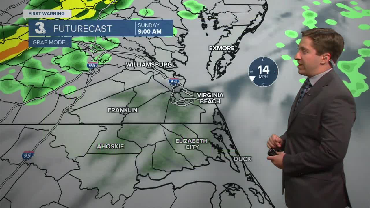
Tomorrow will be cooler, with high temperatures only in the 60s. We'll see sunshine in the morning followed by a mix of sun and clouds during the afternoon. Winds will be out of the W at 10-15 mph. Overnight will be mostly clear and cool, with low temperatures dropping into the 40s and pockets of 30s inland.

Tuesday will be another cool day, with sunny skies and high temperatures in the upper 50s to low 60s. Temperatures take a jump on Wednesday, with upper 70s expected Wednesday and Thursday. Another chance of rain looms next weekend, with highs in the 80s Friday and Saturday and rain looking possible Saturday into Sunday.

Weather updates on social media:
