

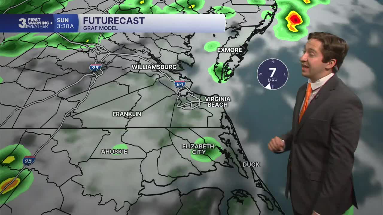


Meteorologist Tony Nargi's First Warning Forecast
Today will be mostly cloudy with isolated showers in the morning followed by off and on showers/storms during the afternoon. The chance of rain is 70%. High temperatures will reach the mid 80s, with humid conditions expected as well. Winds will be out of the SE at 5-10 mph, up to 15 mph along the coast. Showers and storms will taper off after 9 PM, with lows dropping into the low to mid 70s.

Tomorrow will be similar to Saturday, with mostly cloudy skies and occasional showers in the morning, followed by scattered showers and storms during the afternoon. The chance of rain is 60%. High temperatures will reach the mid to upper 80s, with winds out of the SW at 5-10 mph. Showers and storms will taper off after 7 PM.

Monday will feature drier conditions, with partly cloudy skies and just a 20% chance of rain. High temperatures will be in the low 80s, with dropping humidity expected as well. Tuesday will be lovely, with high temperatures in the upper 70s to low 80s along with mostly sunny skies. Much lower humidity is expected Tuesday through Friday next week.

Temperatures will slowly warm back into the mid 80s by the end of next week. Dry conditions are expected Tuesday through Thursday, with rain chances slowly increasing Friday into Saturday.

TROPICS:

All quiet!
Weather updates on social media:
