

Meteorologist Tony Nargi's First Warning Forecast
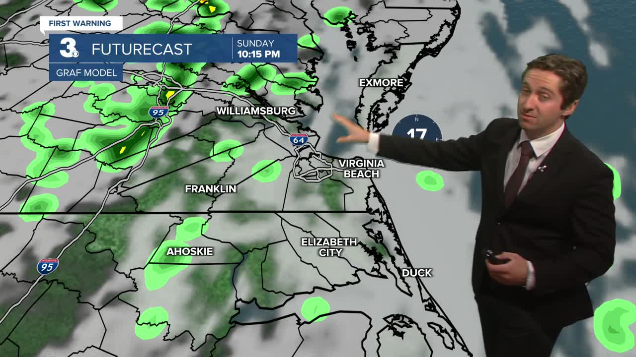
Today will start off sunny and pleasant with temperatures in the 50s and low 60s in the morning jumping into the mid 70s to near 80 this afternoon. Clouds will increase throughout the day, with overcast skies expected by this evening. It will be breezy, with winds picking up out of the S at 10-20 mph. Overnight showers and some isolated thunderstorms will move through along with a cold front, mainly between 10 pm and 4 am. There is a low-end chance of a severe thunderstorm, with strong wind gusts being the main severe threat. Rough seas are expected today; a small craft advisory is in place.


Tomorrow will start off dry as Sunday night's cold front moves offshore, with mainly sunny skies to start followed by completely clear skies during the afternoon. It will be a bit cooler, with highs in the upper 60s. Winds will be out of the W at 10-15 mph. On Monday overnight temperatures will drop into the 40s. Tuesday will be pleasant, with mostly sunny skies expected along with highs in the low 70s. Winds will be out of the S at 5-15 mph, with dry conditions expected once again.

A cold front is expected to move through on Tuesday night into Wednesday morning, with little to no precipitation expected with it. This will drop our temperatures back into the upper 60s to near 70 Wednesday and into Thursday. Our nice stretch of weather is expected to continue into next weekend, with lots of sunshine expected through Friday and near normal high temperatures.

Weather updates on social media:
