

Meteorologist Tony Nargi's First Warning Forecast
Clouds and any leftover showers cleared out by 7 PM this evening, with clear skies expected by 9 PM. Tonight, will be clear with winds dropping off and patchy fog possible, lows will be in the 40s and low 50s.

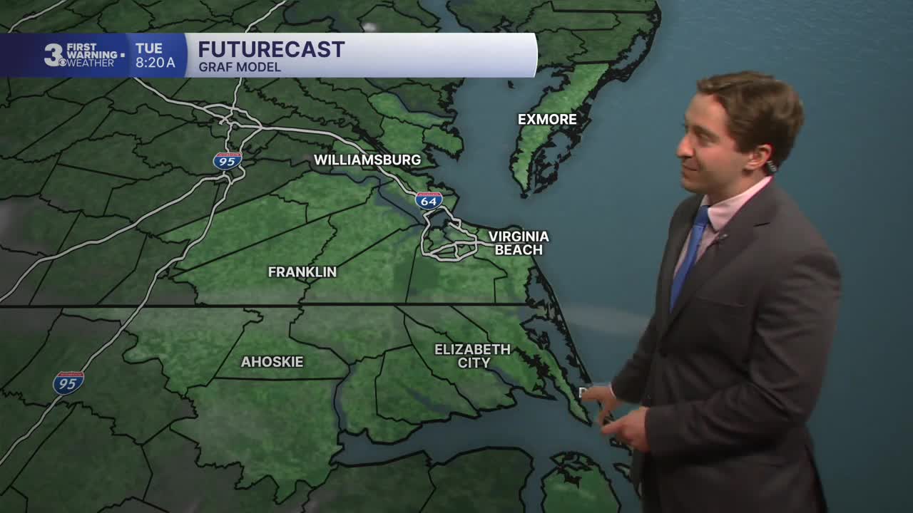
Tomorrow will be mostly sunny and pleasant with high temperatures in the 60s. Winds will be out of the N at 5-10 mph. Overnight lows will drop into the 50s and upper 40s along with light winds.

Wednesday will be a step warmer with high temperatures in the 70s to near 80. It will be breezy with winds out of the S at 10-20 mph. Mostly sunny skies along will turn to overcast skies later in the afternoon. A few showers will start to develop late on Wednesday, with a round of rain and thunderstorms likely moving through overnight between 9 PM and 3 AM. Rain on Wednesday night will turn to lighter rain showers on Thursday morning. Up to 0.5" of rain is possible. Thursday will be cooler with high temperatures in the upper 60s, with any leftover showers tapering off by Thursday afternoon.

A warming trend will take hold this weekend, with temperatures jumping into the mid to upper 80s by Saturday. Warmer and more humid conditions are expected to begin next week.

Weather updates on social media:
