



Meteorologist Tony Nargi's First Warning Forecast
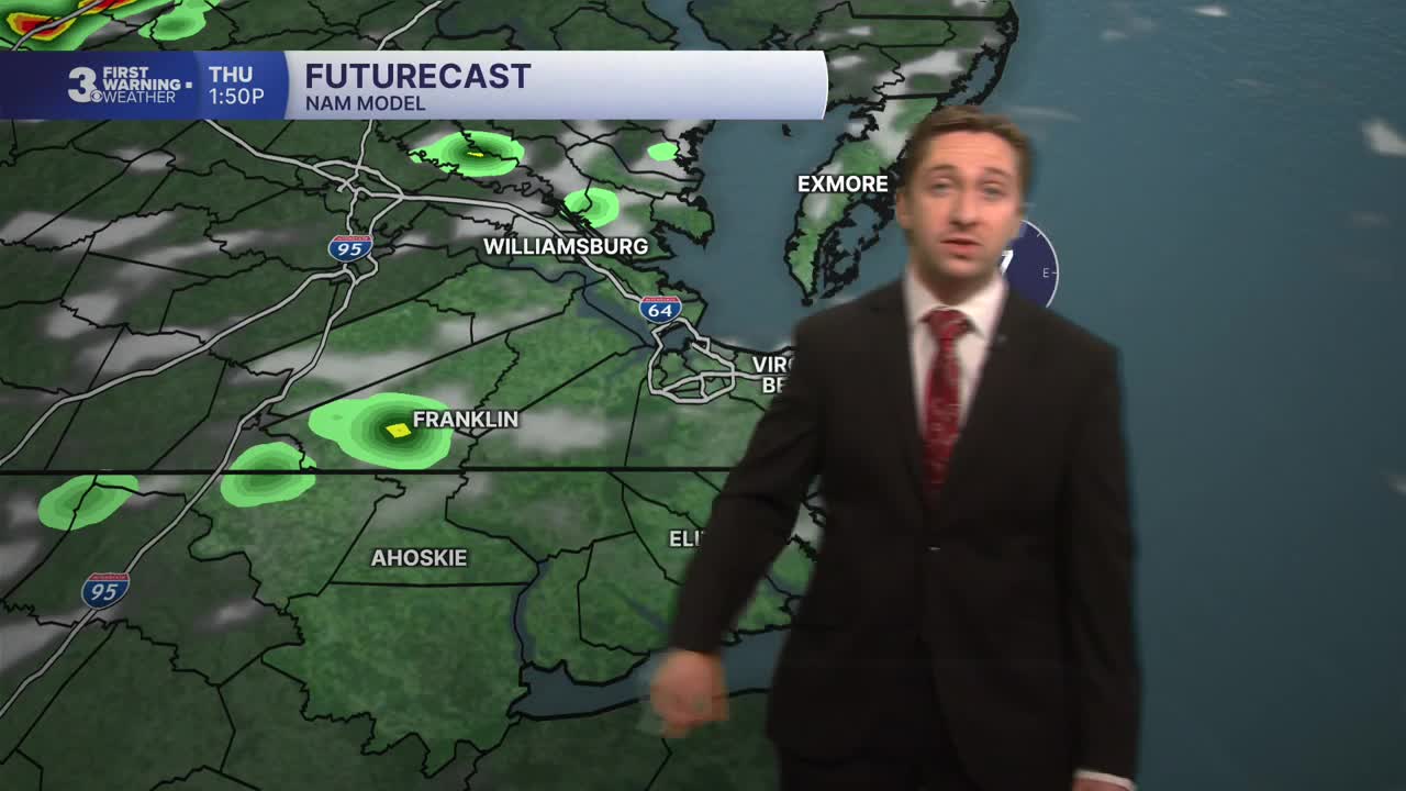
Today will start off humid with temperatures in the 70s and some patchy fog possible through 8 AM. Temperatures will be slightly cooler today with high temps reaching only the mid 80s. Scattered showers are possible today with some isolated storms possible as well this afternoon. Chance of rain is 40%. Skies will be mostly cloudy for most of the day, with some partial clearing likely by sunset. Winds will be out of the E at 5-10 mph. Overnight will be partly cloudy with a chance of an isolated storm, with lows in the low to mid 70s.

Tomorrow will start off with some patchy fog and partly cloudy skies. We'll see a mix of sun and clouds throughout the afternoon, with a 40% chance of a storm. Winds will be out of the S/SE at 5-10 mph. High temperatures will be around 90. Friday will be even warmer, with high temperatures jumping into the mid 90s, and heat indices surpassing 105. We'll see partly cloudy skies and a 20% chance of an isolated afternoon shower/storm.


On Saturday we'll see some showers and storms, particularly during the afternoon. Showers and storms will clear overnight, with a dry spell settling into the region beginning Sunday. High temperatures will also take a noticeable drop next week, with low to mid 80s to start the week off.

Weather updates on social media:
